|
search place name
|
||
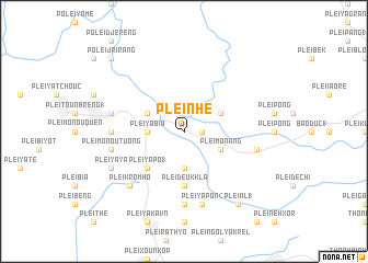
Plei Nhe (Vietnam)Plei Nhe is a town in Vietnam. An overview map of the region around Plei Nhe is displayed below.
regional and 3d topo map of Plei Nhe, Vietnam ::
Plei Nhe airports ::
The nearest airport is PKZ - Pakse, located 246.2 km north west of Plei Nhe.
Other airports nearby include NHA - Nhatrang (248.8 km south east), Nearby towns ::
Plei Del (1.8km east) //
Plei Menou (3.7km south) //
Plei Ya Bio (3.6km west) //
Plei Chium (4.0km north east) //
Plei Mơ Nang (4.0km south east) //
Plei By Yot (4.0km north west) //
Plei Ya Pô (1) (5.2km south west) //
Plei Deuk Kla (5.6km south) //
Plei Klong (7.2km west) //
Plei Deu Ngol (7.4km south) //
Plei Dê Olung (1) (7.4km east) //
Plei Ya Pon (2) (7.6km south) //
Plei Monou Tuong (7.4km west) //
Plei Doch (7.4km west) //
Plei Krom Hô (7.7km south west) //
Plei Ya Ya (8.1km south west) //
Plei Al (1) (9.2km south east) //
Pơlei Jrirang (10.3km north west) //
[all distances 'as the bird flies' and approximate]  Places with similar names to Plei Nhe, Vietnam ::
Disclaimer :: Information on this page comes without warranty of any kind |
||
|
Where is Plei Nhe? Elevation and coordinates ::
Latitude (lat): 13°57'0"N Longitude (lon): 107°43'0"E
Elevation (approx.): 372m (map arrows pan, magnifying glasses zoom) |
||
|
Visiting Plei Nhe? Hotel/Accommodation ::
Book a hotel in Plei Nhe Travel Guide ::
Buy a travel guide for Vietnam rental cars ::
car rental offers GPS waypoint ::
download a GPX waypoint (PoI) of Plei Nhe for your GPS receiver
|
||