|
search place name
|
||
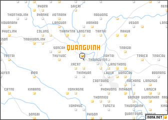
Quang Vinh (Bắc Thái, Vietnam)Quang Vinh is a town in the Bắc Thái region of Vietnam. An overview map of the region around Quang Vinh is displayed below.
regional and 3d topo map of Quang Vinh, Vietnam ::
Quang Vinh airports ::
The nearest airport is HAN - Hanoi Noibai Intl, located 42.0 km south of Quang Vinh.
Nearby towns ::
Cầu The (0.0km north) //
Go La (1.9km south) //
Xâ Cát (2.5km south west) //
Thái Nguyên (3.0km east) //
Thịnh Ðàn (3.7km south) //
Bản Giang (3.9km south east) //
Ðồng Quan (4.1km south west) //
Làng Tao (5.6km north) //
Hòa Thượng (5.6km north) //
Thuy Uoc (5.2km west) //
Xóm Tai (5.2km east) //
Son Cẩm (5.5km west) //
Làng Huống (5.5km east) //
Tam Tài (6.5km north east) //
Làng Lam (6.5km north east) //
Cao Toung (6.5km south east) //
Lưu Xá (6.4km south east) //
Thanh Trà (6.5km north west) //
Minh Lý (7.4km north) //
Làng Thông (7.1km east) //
Van Hao (7.6km north) //
Khúc Lộng (7.1km west) //
Xóm Kagne (7.6km south) //
Làng Lau (7.8km south east) //
Ỷ Na (8.2km south west) //
Ke Mon (8.9km north east) //
Bo Dao (8.9km north west) //
Làng Don (9.0km north west) //
Non Tinh (9.0km south east) //
[all distances 'as the bird flies' and approximate] 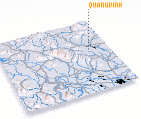 Places with similar names to Quang Vinh, Vietnam ::
Disclaimer :: Information on this page comes without warranty of any kind |
||
|
Where is Quang Vinh? Elevation and coordinates ::
Latitude (lat): 21°36'0"N Longitude (lon): 105°49'0"E
Elevation (approx.): 29m (map arrows pan, magnifying glasses zoom) |
||
|
Visiting Quang Vinh? Hotel/Accommodation ::
Book a hotel in Quang Vinh Travel Guide ::
Buy a travel guide for Vietnam rental cars ::
car rental offers GPS waypoint ::
download a GPX waypoint (PoI) of Quang Vinh for your GPS receiver
|
||