|
search place name
|
||
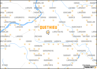
Quê Thiều (Vietnam)Quê Thiều is a town in Vietnam. An overview map of the region around Quê Thiều is displayed below.
regional and 3d topo map of Quê Thiều, Vietnam ::
Quê Thiều airports ::
The nearest airport is HAN - Hanoi Noibai Intl, located 66.9 km north east of Quê Thiều.
Nearby towns ::
Xóm Lai (1.9km north) //
Làng Thung (3.5km east) //
Xóm Mang (3.7km south) //
Xóm Tang (3.9km north west) //
Xóm Gioc Khoi (3.9km north west) //
Róc Khơi (3.9km south west) //
Mông Hóa (3.9km north east) //
Xóm Ðung (4.1km south west) //
Xóm Giai (4.1km south east) //
Phương Lâm (5.1km north west) //
Na Nội (5.1km north east) //
Làng Lô (5.1km north east) //
Làng Cu (5.1km south east) //
Xóm Chang (5.5km west) //
Su Ngoi (5.8km north) //
Xóm Su (5.8km north) //
Xóm Sóng (5.8km north) //
Xóm Ðúc (6.4km north east) //
Xóm Bưng (6.6km south west) //
Làng Rech (6.4km south east) //
Hòa Bình (7.0km north west) //
Ðông Phong (7.4km south) //
Quỳnh Lâm (7.2km west) //
Làng Ðuc (7.2km east) //
Quang Trung (7.6km south) //
Xóm Quang (7.6km south west) //
Phương Lâm (7.6km north west) //
Thinh Làng (8.2km north west) //
Xóm Mõ (7.9km south west) //
[all distances 'as the bird flies' and approximate] 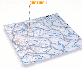 Places with similar names to Quê Thiều, Vietnam ::
Disclaimer :: Information on this page comes without warranty of any kind |
||
|
Where is Quê Thiều? Elevation and coordinates ::
Latitude (lat): 20°46'0"N Longitude (lon): 105°23'0"E
Elevation (approx.): 482m (map arrows pan, magnifying glasses zoom) |
||
|
Visiting Quê Thiều? Hotel/Accommodation ::
Book a hotel in Quê Thiều Travel Guide ::
Buy a travel guide for Vietnam rental cars ::
car rental offers GPS waypoint ::
download a GPX waypoint (PoI) of Quê Thiều for your GPS receiver
|
||