|
search place name
|
||
Sơn Ðược (Sông Bé, Vietnam)Sơn Ðược is a town in the Sông Bé region of Vietnam. An overview map of the region around Sơn Ðược is displayed below.
regional and 3d topo map of Sơn Ðược, Vietnam ::

Sơn Ðược airports ::
The nearest airport is SGN - Ho Chi Minh City Tansonnhat Intl, located 84.0 km south of Sơn Ðược.
Other airports nearby include PNH - Phnom-penh Phnom Penh Intl (211.5 km west), Nearby towns ::
Srok Dong (4.1km north west) //
Bưng Sé (4.1km south east) //
Tan Xion (5.4km east) //
Bình Tri (5.8km east) //
Ta Bái (5.8km north) //
Srok Cua (6.6km north west) //
Tà Mòn (1) (6.6km north east) //
Lien Ða (2) (7.4km north) //
Song La (7.6km south) //
Ấp Chùa Hoa (7.8km south west) //
Srok Soai (8.2km north west) //
Ta Ban (8.3km north east) //
Ấp Hưng Yên (9.2km north west) //
Bou Koh (10.4km north east) //
[all distances 'as the bird flies' and approximate] 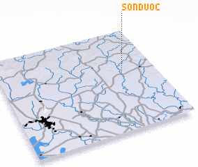 Places with similar names to Sơn Ðược, Vietnam ::
Disclaimer :: Information on this page comes without warranty of any kind |
||
|
Where is Sơn Ðược? Elevation and coordinates ::
Latitude (lat): 11°34'0"N Longitude (lon): 106°47'0"E
Elevation (approx.): 69m (map arrows pan, magnifying glasses zoom) |
||
|
Visiting Sơn Ðược? Hotel/Accommodation ::
Book a hotel in Sơn Ðược Travel Guide ::
Buy a travel guide for Vietnam rental cars ::
car rental offers GPS waypoint ::
download a GPX waypoint (PoI) of Sơn Ðược for your GPS receiver
|
||