|
search place name
|
||
Tả Van Dáy (Vietnam)Tả Van Dáy is a town in Vietnam. An overview map of the region around Tả Van Dáy is displayed below.
regional and 3d topo map of Tả Van Dáy, Vietnam ::

Tả Van Dáy airports ::
The nearest airport is HAN - Hanoi Noibai Intl, located 233.6 km south east of Tả Van Dáy.
Nearby towns ::
Tả Van Mèo (0.0km north) //
Giang Tả Tchay (0.0km north) //
Lao Tchay (1.7km east) //
Lão Lý Tchay (1.9km north) //
Mông Hòa (1.9km north) //
Yi Lin Ho (1.7km west) //
Tả Van (1.9km south) //
Bản Pho (2.5km north east) //
Hầu Thào (2.5km north east) //
Sâu Chùa (3.7km north) //
Thào Hồng Dín (3.4km east) //
Pan Phó Tchay (3.4km east) //
Hầu Trư Ngài (4.1km north east) //
Siao Mi Ti (4.1km south east) //
Hao Su Ngai (3.9km north east) //
Chải Mèo (3.9km south east) //
Giàng Tả (3.9km south east) //
Chải Mán (5.0km south east) //
Lo Sui Tong (5.0km north west) //
Hoa Si Pan (5.1km east) //
Lao Chải (5.1km west) //
Sa Pả (5.6km north) //
Chapa Bas (5.6km north) //
Sa Pá (5.6km north) //
Chan Tchan (5.8km north) //
Hòa Sì Phán (5.5km east) //
Cha Pai (5.8km north) //
Lếch Mèo (6.9km east) //
San Sả Hồ (6.9km west) //
[all distances 'as the bird flies' and approximate] 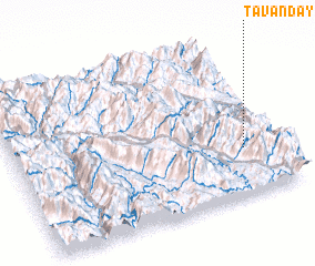 Places with similar names to Tả Van Dáy, Vietnam ::
Disclaimer :: Information on this page comes without warranty of any kind |
||
|
Where is Tả Van Dáy? Elevation and coordinates ::
Latitude (lat): 22°18'0"N Longitude (lon): 103°52'0"E
Elevation (approx.): 1209m (map arrows pan, magnifying glasses zoom) |
||
|
Visiting Tả Van Dáy? Hotel/Accommodation ::
Book a hotel in Tả Van Dáy Travel Guide ::
Buy a travel guide for Vietnam rental cars ::
car rental offers GPS waypoint ::
download a GPX waypoint (PoI) of Tả Van Dáy for your GPS receiver
|
||