|
search place name
|
||
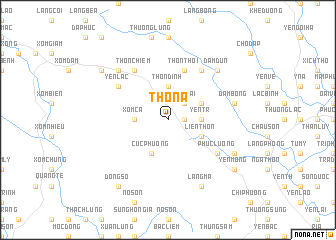
Thôn A (Vietnam)Thôn A is a town in Vietnam. An overview map of the region around Thôn A is displayed below.
regional and 3d topo map of Thôn A, Vietnam ::
Thôn A airports ::
The nearest airport is HAN - Hanoi Noibai Intl, located 97.8 km north of Thôn A.
Nearby towns ::
Thon Sâm (1.7km east) //
Phù Vệ (2.5km north east) //
Yên Thái (2.5km north east) //
Yên Tr (3.5km east) //
Thôn Dinh (3.7km north) //
Xóm Bông (3.5km west) //
Xóm Cả (3.5km west) //
Thác Lạ (3.9km north east) //
Liên Thôn (3.9km south east) //
Cúc Phương (4.1km south west) //
Thôn Thôi (5.8km north) //
Hữu Lại (6.6km north east) //
Phúc Lương (6.4km south east) //
Thôn Chiêm (6.6km north west) //
Yên Lạc (6.4km north west) //
Ðâm Bông (7.2km east) //
Ðàm Dun (7.6km north east) //
Lạc Thô (7.6km north west) //
Làng Cói (7.9km south east) //
Làng Ma (8.2km south east) //
Lạc Thủy (8.9km north west) //
Yên Mông (8.9km south east) //
Ðồng Số (9.1km south west) //
[all distances 'as the bird flies' and approximate] 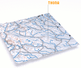 Places with similar names to Thôn A, Vietnam ::
Disclaimer :: Information on this page comes without warranty of any kind |
||
|
Where is Thôn A? Elevation and coordinates ::
Latitude (lat): 20°21'0"N Longitude (lon): 105°39'0"E
Elevation (approx.): 282m (map arrows pan, magnifying glasses zoom) |
||
|
Visiting Thôn A? Hotel/Accommodation ::
Book a hotel in Thôn A Travel Guide ::
Buy a travel guide for Vietnam rental cars ::
car rental offers GPS waypoint ::
download a GPX waypoint (PoI) of Thôn A for your GPS receiver
|
||