|
search place name
|
||
Thương Trai (Lai Châu, Vietnam)Thương Trai is a town in the Lai Châu region of Vietnam. An overview map of the region around Thương Trai is displayed below.
regional and 3d topo map of Thương Trai, Vietnam ::

Nearby towns ::
Nam Cô (0.0km north) //
Tu Cô Phing (1.9km south) //
Ngưu Sương Mèo (1.9km north) //
Ngưu Sương Giao (1.9km north) //
Nam Cô (2.5km north east) //
Sang Sao (3.7km south) //
Tỉu Ðộng (3.7km north) //
Cheng Sung (3.7km north) //
Nam Cô (3.9km north east) //
Nam Cỏi (4.1km north west) //
Bản Sầm (5.1km north east) //
Seo Xin Trải (5.6km south) //
Kim Sưởng (5.6km north) //
Lăo Phông (6.5km north east) //
Bản Nam Nguyên Trai (6.9km east) //
Xin Trải (7.6km south) //
Giap Dộc (7.6km north) //
Chong Trai (8.2km north east) //
Bản Cai (8.8km south west) //
Bản Pay (10.1km south west) //
[all distances 'as the bird flies' and approximate] 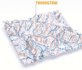 Places with similar names to Thương Trai, Vietnam ::
// Thaungdara (MM)
// Thăng Tri (VN)
// Thượng Truy (VN)
// Thượng Trà (VN)
// Thượng Trì (VN)
// Thượng Triểu (VN)
Disclaimer :: Information on this page comes without warranty of any kind |
||
|
Where is Thương Trai? Elevation and coordinates ::
Latitude (lat): 22°12'0"N Longitude (lon): 103°15'0"E
Elevation (approx.): 1535m (map arrows pan, magnifying glasses zoom) |
||
|
Visiting Thương Trai? Hotel/Accommodation ::
Book a hotel in Thương Trai Travel Guide ::
Buy a travel guide for Vietnam rental cars ::
car rental offers GPS waypoint ::
download a GPX waypoint (PoI) of Thương Trai for your GPS receiver
|
||