|
search place name
|
||
Tioc San (Cao Bằng, Vietnam)Tioc San is a town in the Cao Bằng region of Vietnam. An overview map of the region around Tioc San is displayed below.
regional and 3d topo map of Tioc San, Vietnam ::

Tioc San airports ::
The nearest airport is HAN - Hanoi Noibai Intl, located 148.1 km south west of Tioc San.
Other airports nearby include NNG - Nanning Wuxu (178.5 km east), Nearby towns ::
Ðong Lein (0.0km north) //
Ðông Khê (1.9km north) //
Bản Diam (1.9km north) //
Na Pa (2.5km south west) //
Na Ngaun (2.5km south west) //
Na Tiang (3.4km west) //
Na Moc (3.7km south) //
Loung Bout (3.9km north west) //
Na Tạo (3.9km south east) //
Bản Niên (5.0km north east) //
Bản Han (5.1km east) //
Pac Gien (5.1km east) //
Lung Coc (5.6km south) //
Dong Ma (5.5km east) //
Bản Vi (5.5km east) //
Po Kouei (5.8km north) //
Mai Lũng (6.3km north west) //
Pac Nam (6.5km north east) //
Bo Djương (6.5km north west) //
Pac Bo (6.5km south west) //
Coc Xa (6.3km south west) //
Song Sien (7.4km north) //
Ðào Ninh (6.9km east) //
Loung Phai (7.4km south) //
Na Pi (6.9km west) //
Na Tho (7.1km east) //
Na Po (1) (7.1km west) //
Loung Vao (7.6km south) //
Loung Cha (7.6km south) //
[all distances 'as the bird flies' and approximate] 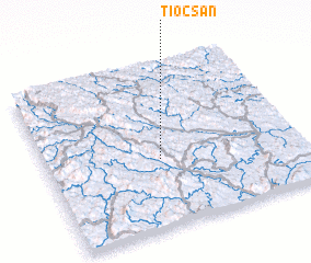 Places with similar names to Tioc San, Vietnam ::
// Chukson (US)
// Choczeń (PL)
// Chocznia (PL)
// Shixini (ZA)
// Shaykh Ḩusayn (IQ)
// Chāy Kasan (IR)
// Sheikh Hasan (ET)
// Chak Sonāi (BD)
// Chuaxán (GT)
// Chuaxán (GT)
Disclaimer :: Information on this page comes without warranty of any kind |
||
|
Where is Tioc San? Elevation and coordinates ::
Latitude (lat): 22°25'0"N Longitude (lon): 106°27'0"E
Elevation (approx.): 564m (map arrows pan, magnifying glasses zoom) |
||
|
Visiting Tioc San? Hotel/Accommodation ::
Book a hotel in Tioc San Travel Guide ::
Buy a travel guide for Vietnam rental cars ::
car rental offers GPS waypoint ::
download a GPX waypoint (PoI) of Tioc San for your GPS receiver
|
||