|
search place name
|
||
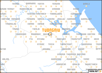
Tương Niu (Vietnam)Tương Niu is a town in Vietnam. An overview map of the region around Tương Niu is displayed below.
regional and 3d topo map of Tương Niu, Vietnam ::
Tương Niu airports ::
The nearest airport is SNO - Sakon Nakhon, located 224.4 km south west of Tương Niu.
Other airports nearby include ZVK - Savannakhet (232.1 km south west), Nearby towns ::
Từ Xá (0.0km north) //
Chi Phan (1.8km west) //
Bùi Xá (1.8km west) //
Ðàn Chế (1.8km east) //
Thương Trực (1.8km east) //
Việt Xuyên (1.9km north) //
Phú Việt (1.9km north) //
Thạch Hà (1.9km north) //
Vạn Lạc (2.6km south east) //
Ðồng Lưu (2.6km south east) //
Trung Hòa (2.6km south east) //
Ngọc Lũy (2.6km south east) //
An Lệ (2.6km south east) //
Xóm Ðông (2.6km south east) //
Ðà Ðông (2.6km north west) //
Hùng Kiêu (2.6km north east) //
Hạ Mục (2.6km north east) //
Tri Chỉ (3.7km south) //
Ðông Lưu (3.7km south) //
Hương Xá (3.7km south) //
My Châu (4.0km south west) //
Châu Lâm (4.0km south east) //
Ngọc Diền (4.0km south east) //
Xuan Giang Hà (4.1km north east) //
Thương Nguyên (4.1km north east) //
Mỹ Ngọc (5.1km south west) //
Ðoài Giáp (5.1km south east) //
Xóm Gia (5.1km north west) //
Ða Bên (5.1km north west) //
[all distances 'as the bird flies' and approximate] 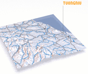 Places with similar names to Tương Niu, Vietnam ::
Disclaimer :: Information on this page comes without warranty of any kind |
||
|
Where is Tương Niu? Elevation and coordinates ::
Latitude (lat): 18°23'0"N Longitude (lon): 105°50'0"E
Elevation (approx.): 7m (map arrows pan, magnifying glasses zoom) |
||
|
Visiting Tương Niu? Hotel/Accommodation ::
Book a hotel in Tương Niu Travel Guide ::
Buy a travel guide for Vietnam rental cars ::
car rental offers GPS waypoint ::
download a GPX waypoint (PoI) of Tương Niu for your GPS receiver
|
||