|
search place name
|
||
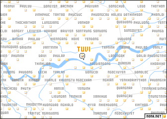
Tu Vi (Hà Bắc, Vietnam)Tu Vi is a town in the Hà Bắc region of Vietnam. An overview map of the region around Tu Vi is displayed below.
regional and 3d topo map of Tu Vi, Vietnam ::
Tu Vi airports ::
The nearest airport is HAN - Hanoi Noibai Intl, located 32.5 km north west of Tu Vi.
Nearby towns ::
Chi Nê (1.9km south) //
Quảng Lãm (1.7km east) //
Ðại Ðồng (2.5km south west) //
Lạc Thổ (2.5km south east) //
Nghĩa Chỉ (3.5km west) //
Ðông Côi (4.1km south east) //
Mão Ðiền Ðông (3.9km south east) //
Hộ Vệ (4.1km north west) //
Yên Ðộng (4.1km north east) //
Ðại Chạch (5.1km south west) //
Chung Nam (5.1km north west) //
La Miệt (5.1km north east) //
Ðại Toán (5.2km east) //
Sơn Trung (5.6km north) //
Ngọc Khám (5.6km south) //
Phù Lập (5.2km west) //
Khắc Niệm Hạ (5.8km north) //
Tập Ninh (5.5km east) //
Nghi Khúc (6.4km south east) //
Bái Uyên (6.5km north west) //
Khương Tự (6.5km south west) //
Trà Lâm (6.4km south west) //
Nga Hoàng (6.5km north east) //
Sơn Ðông (6.5km north east) //
Hiên Ngang (6.4km north west) //
Hoài Bão Thượng (6.4km north west) //
Yên Ðịnh (7.4km south) //
Thuận Thanh (7.4km south) //
Phú Ninh Phố (7.4km south) //
[all distances 'as the bird flies' and approximate] 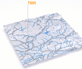 Places with similar names to Tu Vi, Vietnam ::
Disclaimer :: Information on this page comes without warranty of any kind |
||
|
Where is Tu Vi? Elevation and coordinates ::
Latitude (lat): 21°5'0"N Longitude (lon): 106°5'0"E
Elevation (approx.): 6m (map arrows pan, magnifying glasses zoom) |
||
|
Visiting Tu Vi? Hotel/Accommodation ::
Book a hotel in Tu Vi Travel Guide ::
Buy a travel guide for Vietnam rental cars ::
car rental offers GPS waypoint ::
download a GPX waypoint (PoI) of Tu Vi for your GPS receiver
|
||