|
search place name
|
||
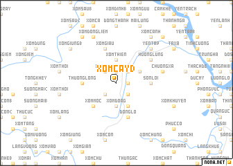
Xóm Cảy (3) (Vĩnh Phú, Vietnam)Xóm Cảy (3) is a town in the Vĩnh Phú region of Vietnam. An overview map of the region around Xóm Cảy (3) is displayed below.
regional and 3d topo map of Xóm Cảy (3), Vietnam ::
Xóm Cảy (3) airports ::
The nearest airport is HAN - Hanoi Noibai Intl, located 79.6 km east of Xóm Cảy (3).
Nearby towns ::
Ðồng Dân (1.7km east) //
Ngã Hai (1.9km north) //
Ðồng Phú (2.5km south east) //
Làng Thượng (2.5km south west) //
Xóm Sàng (2.5km north west) //
Hạ Long (2.5km north east) //
Xóm Ðống (3.7km south) //
Xóm Thiên (3.7km north) //
Xóm Mu (3.7km north) //
Xóm Ðoai (1) (4.1km south east) //
Ðồng Lạc (3.9km north east) //
Xóm Mọc (5.1km south west) //
Sơn Lôi (5.2km east) //
Thượng Long (5.2km west) //
Xóm Giâu (5.8km north) //
Ðông Lỗ (5.8km south) //
Ðồng Ðình (5.8km south) //
Hương Lung (6.4km north east) //
Chương Xá (7.1km east) //
Yên Tập (7.6km north east) //
Xóm Ðồng Liêm (8.2km north west) //
Xóm Cá (9.0km north west) //
Xóm Cánh (9.0km north east) //
Ðồ Thủy (9.0km north west) //
Xóm Giùng (1) (8.9km north west) //
Sơn Tình (10.1km north east) //
[all distances 'as the bird flies' and approximate] 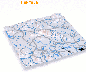 Places with similar names to Xóm Cảy (3), Vietnam ::
// Zamakta (RU)
// Samagata (TP)
// Samagata (TP)
// Samaku Dua (ID)
// Samkita (GA)
// Samékoto (SN)
// Samé Kouta (SN)
// Samékouta (SN)
// Samékouta (SN)
// Samékouta (SN)
Disclaimer :: Information on this page comes without warranty of any kind |
||
|
Where is Xóm Cảy (3)? Elevation and coordinates ::
Latitude (lat): 21°20'0"N Longitude (lon): 105°3'0"E
Elevation (approx.): 80m (map arrows pan, magnifying glasses zoom) |
||
|
Visiting Xóm Cảy (3)? Hotel/Accommodation ::
Book a hotel in Xóm Cảy (3) Travel Guide ::
Buy a travel guide for Vietnam rental cars ::
car rental offers GPS waypoint ::
download a GPX waypoint (PoI) of Xóm Cảy (3) for your GPS receiver
|
||