|
search place name
|
||
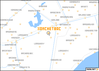
Xóm Chệt Bắc (Bạc Liêu, Vietnam)Xóm Chệt Bắc is a town in the Bạc Liêu region of Vietnam. An overview map of the region around Xóm Chệt Bắc is displayed below.
regional and 3d topo map of Xóm Chệt Bắc, Vietnam ::
Xóm Chệt Bắc airports ::
The nearest airport is SGN - Ho Chi Minh City Tansonnhat Intl, located 226.8 km north east of Xóm Chệt Bắc.
Nearby towns ::
Ấp Trà Thê (0.9km south east) //
Long Ðiền (2) (2.3km north) //
Ấp Cây Gừa (3.1km north west) //
Ấp Ðầu Lá (3.1km east) //
Xóm Tây Sắc (3.6km north) //
Xóm Ba Lét (4.2km west) //
Ấp Hô Phòng (4.7km north east) //
Xóm Lo Be (5.3km north east) //
Long Diền (5) (5.6km south west) //
Ấp Thạnh Tr (6.7km north east) //
Ấp Khúc Tréo (6.9km west) //
Ấp Nọc Nạn (I) (7.9km north) //
Ấp Rạch Rắn (8.3km east) //
Ấp Ngã Tư (8.4km east) //
Giá Rai (8.5km north east) //
Long Ðiền (4) (8.8km south east) //
Ấp Kinh Ngang (8.8km north east) //
Phong Thạnh (9.9km north west) //
Ấp Chàng Bé (2) (11.4km south west) //
[all distances 'as the bird flies' and approximate] 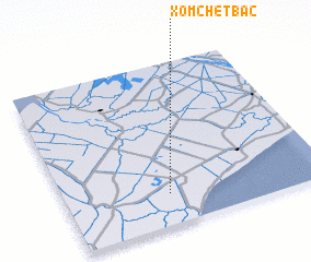 Places with similar names to Xóm Chệt Bắc, Vietnam :: Disclaimer :: Information on this page comes without warranty of any kind |
||
|
Where is Xóm Chệt Bắc? Elevation and coordinates ::
Latitude (lat): 9°11'25"N Longitude (lon): 105°23'44"E
Elevation (approx.): 1m (map arrows pan, magnifying glasses zoom) |
||
|
Visiting Xóm Chệt Bắc? Hotel/Accommodation ::
Book a hotel in Xóm Chệt Bắc Travel Guide ::
Buy a travel guide for Vietnam rental cars ::
car rental offers GPS waypoint ::
download a GPX waypoint (PoI) of Xóm Chệt Bắc for your GPS receiver
|
||