|
search place name
|
||
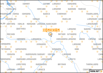
Xóm Khàm (Vietnam)Xóm Khàm is a town in Vietnam. An overview map of the region around Xóm Khàm is displayed below.
regional and 3d topo map of Xóm Khàm, Vietnam ::
Xóm Khàm airports ::
The nearest airport is HAN - Hanoi Noibai Intl, located 62.1 km north east of Xóm Khàm.
Nearby towns ::
Vo Côi (1.9km south) //
Xóm Chong Bui (2.5km south west) //
Tu Sơn (2.5km north west) //
Làng Kam (2.5km north east) //
Suối Chuôn (3.7km north) //
Nàt Sơn (3.5km east) //
Làng Trâm (4.1km south west) //
Xóm Khoang (3.9km south east) //
Làng Cỏ (3.9km north east) //
Vĩnh Dồng (5.1km south west) //
Làng Ðuc (5.1km north west) //
Làng Trang (5.6km south) //
Làng Rech (5.5km west) //
Quê Rù (5.8km south) //
Vĩnh Ðồng (5.8km south) //
Ðông Lô (6.6km north east) //
Tun Kay (6.6km south east) //
Làng Sống (6.6km south east) //
Gi Thượng (6.9km east) //
Xóm Tấu (7.4km south) //
Làng Thung (7.2km west) //
Làng Cu (7.2km west) //
Suối Nội (7.6km south) //
Suối Cỏ (7.6km north) //
Làng Rộc (7.2km east) //
Làng Rộc (7.2km east) //
Xóm Ðúc (7.6km north west) //
Ngọc Lâm (7.6km north east) //
Mông Hóa (7.9km north west) //
[all distances 'as the bird flies' and approximate] 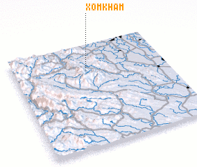 Places with similar names to Xóm Khàm, Vietnam ::
// (( Semakhim )) (RU)
Disclaimer :: Information on this page comes without warranty of any kind |
||
|
Where is Xóm Khàm? Elevation and coordinates ::
Latitude (lat): 20°45'0"N Longitude (lon): 105°29'0"E
Elevation (approx.): 114m (map arrows pan, magnifying glasses zoom) |
||
|
Visiting Xóm Khàm? Hotel/Accommodation ::
Book a hotel in Xóm Khàm Travel Guide ::
Buy a travel guide for Vietnam rental cars ::
car rental offers GPS waypoint ::
download a GPX waypoint (PoI) of Xóm Khàm for your GPS receiver
|
||