|
search place name
|
||
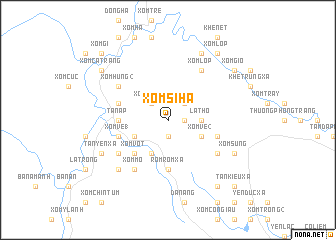
Xóm Si Ha (Vietnam)Xóm Si Ha is a town in Vietnam. An overview map of the region around Xóm Si Ha is displayed below.
regional and 3d topo map of Xóm Si Ha, Vietnam ::
Xóm Si Ha airports ::
The nearest airport is ZVK - Savannakhet, located 190.8 km south west of Xóm Si Ha.
Other airports nearby include SNO - Sakon Nakhon (203.0 km west), Nearby towns ::
Xóm Hồm (1.9km south) //
Xóm Si Thượng (1.9km south) //
Giu Danh (1.8km east) //
Xóm Tranh (2.6km north west) //
Xóm Ma Na (2.6km north east) //
Xóm Thanh (2.6km north east) //
La Thơ (3.5km east) //
Lèn Cà Vát (4.1km south west) //
Xóm Ma Lâu (4.0km south west) //
Xóm Vè (2) (4.0km south east) //
Xóm Vọt (5.1km south west) //
Tân Ấp (5.3km west) //
Rom Rom Xã (5.6km south) //
Xóm Ve (1) (5.6km west) //
Nhứt Mạo (5.6km east) //
Hóm Hung (1) (5.6km west) //
Xóm Dường Quan (6.5km south west) //
Xóm Gio (6.5km south east) //
Xóm Hung (2) (6.5km north west) //
Xóm Mò (6.6km south west) //
Xóm Lơp (6.6km north east) //
La On (7.7km south west) //
Tàn Yên Xã (8.0km south west) //
Xóm Sung (8.0km south east) //
Tân Hợp Xã (8.0km south east) //
Xóm Cao (8.2km north east) //
Xóm Cả Trang (9.0km north west) //
Bá Nương Xã (9.1km south east) //
Xóm Gio (9.0km north east) //
[all distances 'as the bird flies' and approximate] 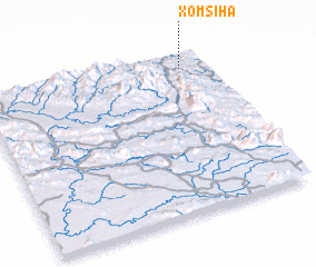 Places with similar names to Xóm Si Ha, Vietnam ::
Disclaimer :: Information on this page comes without warranty of any kind |
||
|
Where is Xóm Si Ha? Elevation and coordinates ::
Latitude (lat): 17°54'0"N Longitude (lon): 105°53'0"E
Elevation (approx.): 187m (map arrows pan, magnifying glasses zoom) |
||
|
Visiting Xóm Si Ha? Hotel/Accommodation ::
Book a hotel in Xóm Si Ha Travel Guide ::
Buy a travel guide for Vietnam rental cars ::
car rental offers GPS waypoint ::
download a GPX waypoint (PoI) of Xóm Si Ha for your GPS receiver
|
||