|
search place name
|
||
Xóm Thượng (Lạng Sơn, Vietnam)Xóm Thượng is a town in the Lạng Sơn region of Vietnam. An overview map of the region around Xóm Thượng is displayed below.
regional and 3d topo map of Xóm Thượng, Vietnam ::

Xóm Thượng airports ::
The nearest airport is HAN - Hanoi Noibai Intl, located 63.5 km south west of Xóm Thượng.
Other airports nearby include NNG - Nanning Wuxu (227.3 km north east), Nearby towns ::
Làng Gao (0.0km north) //
Làng Bom (1.7km west) //
Ðông Sinh (3.7km south) //
Ðông La (3.4km east) //
Làng Nỷ (3.9km south east) //
Quan Phục (5.2km west) //
Bình Long (5.5km west) //
Làng Cương (6.5km south west) //
Làng Trang (6.9km east) //
Len Ri (7.1km east) //
Xuất Tác (8.2km north west) //
Cúc Xao (9.0km south west) //
Phương Giao (8.9km north west) //
[all distances 'as the bird flies' and approximate] 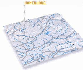 Places with similar names to Xóm Thượng, Vietnam ::
// Xóm Mỹ Thành (2) (VN)
// Xóm Thang (VN)
// Xóm Tháng (VN)
// Xóm Thương (VN)
// Xóm Thượng (VN)
// Xóm Thượng (VN)
Disclaimer :: Information on this page comes without warranty of any kind |
||
|
Where is Xóm Thượng? Elevation and coordinates ::
Latitude (lat): 21°38'0"N Longitude (lon): 106°14'0"E
Elevation (approx.): 33m (map arrows pan, magnifying glasses zoom) |
||
|
Visiting Xóm Thượng? Hotel/Accommodation ::
Book a hotel in Xóm Thượng Travel Guide ::
Buy a travel guide for Vietnam rental cars ::
car rental offers GPS waypoint ::
download a GPX waypoint (PoI) of Xóm Thượng for your GPS receiver
|
||