|
search place name
|
||
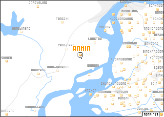
Anmin (Liaoning, China)Anmin is a town in the Liaoning region of China. An overview map of the region around Anmin is displayed below.
regional and 3d topo map of Anmin, China ::
Anmin airports ::
The nearest airport is FNJ - Pyongyang Intl, located 145.3 km south east of Anmin.
Nearby towns ::
Sinsŏ-ri (3.2km south east) //
Hwanggŭmp'yŏng-ni (3.9km south) //
Yangzipao (3.5km north west) //
Langtou (4.3km north east) //
Wangjiabaozi (5.1km south west) //
Sŏburak (5.7km east) //
Kyŏnil-li (6.1km east) //
Yuch'o-ri (7.6km north east) //
Namburak (6.7km south east) //
Ha-ch'on (8.4km south) //
Sang-ch'on (8.9km south) //
Sinhŭng-dong (8.9km south) //
Sojang (8.9km south) //
Tangchi (8.9km north west) //
Chinhŭng-nodongjagu (9.2km south) //
Chunghŭng-dong (8.6km south east) //
Ko-ch'on (8.6km south east) //
K'ŭn-maŭl (9.4km south east) //
Sŏksŏng-dong (9.6km south east) //
Ch'ang-ni (9.9km south east) //
Yongamp'o-rodongjagu (9.4km south east) //
Yusŏgol (9.9km north east) //
Songjŏ-ri (10.1km south east) //
[all distances 'as the bird flies' and approximate] 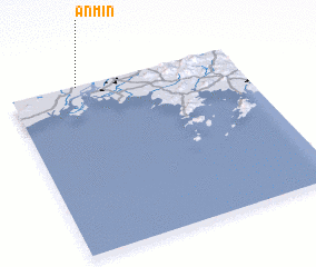 Places with similar names to Anmin, China ::
// Anomon (PH)
// Anne Manie (US)
// Aïnoumane (SN)
// Aïnoumane (SN)
// Anemene (NG)
// Anmin (KR)
// Annam-ni (KR)
// ‘Ayn Amūn (JO)
// An Na‘āminah (EG)
// An Nu‘mān (SA)
Disclaimer :: Information on this page comes without warranty of any kind |
||
|
Where is Anmin? Elevation and coordinates ::
Latitude (lat): 39°59'35"N Longitude (lon): 124°18'6"E
Elevation (approx.): 9m (map arrows pan, magnifying glasses zoom) |
||
|
Visiting Anmin? Hotel/Accommodation ::
Book a hotel in Anmin Travel Guide ::
Buy a travel guide for China rental cars ::
car rental offers GPS waypoint ::
download a GPX waypoint (PoI) of Anmin for your GPS receiver
|
||