|
search place name
|
||
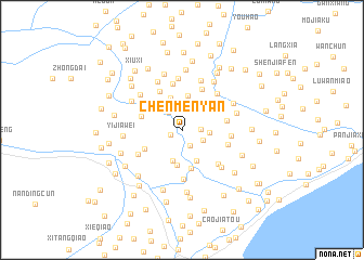
Chenmenyan (Zhejiang, China)Chenmenyan is a town in the Zhejiang region of China. An overview map of the region around Chenmenyan is displayed below.
regional and 3d topo map of Chenmenyan, China ::
Chenmenyan airports ::
The nearest airport is SHA - Shanghai Hongqiao Intl, located 58.3 km north east of Chenmenyan.
Other airports nearby include HGH - Hangzhou Xiaoshan (82.8 km south west), NGB - Ninbo Lishe (105.3 km south), Nearby towns ::
Fuzhuangbang (1.1km south west) //
Tangyouwan (1.8km south east) //
Dafentou (1.7km east) //
Wangchuankou (2.2km north) //
Yangjiajing (2.2km north west) //
Guandimiao (2.2km south east) //
Zhoujiawei (2.4km east) //
Doufuqiao (2.8km north east) //
Yanjiabang (3.3km south) //
Xiaoqiaowangang (3.4km north) //
Doufuxiang (3.4km south) //
Hongmiaogang (3.5km north) //
Xudaizhen (3.6km south) //
Beihongqiao (3.4km north west) //
Linjiawu (4.0km south) //
Nansibang (3.8km south west) //
Jiangjiabang (3.8km west) //
Luosiqiao (4.4km north west) //
Zhujiabang (4.5km north east) //
Dayanqiao (4.1km east) //
Qiangang (4.8km north) //
Dingjiazhaiji (4.4km east) //
Huangzizhao (4.4km east) //
Wanluli (5.1km south) //
Hanjiamiao (4.8km south east) //
Guangchen (4.8km north east) //
Nanxiaogang (4.6km south west) //
Shenjiadang (5.4km north) //
Zoumatang (5.4km north) //
[all distances 'as the bird flies' and approximate] 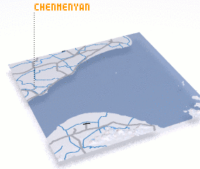 Places with similar names to Chenmenyan, China ::
// Shanmenyuan (CN)
Disclaimer :: Information on this page comes without warranty of any kind |
||
|
Where is Chenmenyan? Elevation and coordinates ::
Latitude (lat): 30°43'7"N Longitude (lon): 121°5'11"E
Elevation (approx.): 5m (map arrows pan, magnifying glasses zoom) |
||
|
Visiting Chenmenyan? Hotel/Accommodation ::
Book a hotel in Chenmenyan Travel Guide ::
Buy a travel guide for China rental cars ::
car rental offers GPS waypoint ::
download a GPX waypoint (PoI) of Chenmenyan for your GPS receiver
|
||