|
search place name
|
||
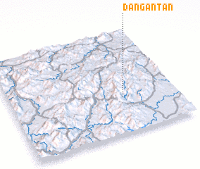
Dangantan (Guangdong, China)Dangantan is a town in the Guangdong region of China. An overview map of the region around Dangantan is displayed below.
regional and 3d topo map of Dangantan, China ::

Dangantan airports ::
The nearest airport is CAN - Guangzhou Baiyun Intl, located 177.6 km south west of Dangantan.
Other airports nearby include SZX - Shenzhen Baoan Intl (211.1 km south west), Nearby towns ::
 Places with similar names to Dangantan, China ::
// Duncantown (US)
// Duncan Town (BS)
// Toncontín (GT)
// Tinguindín (MX)
// Tankanton (SN)
// Toncontín (HN)
// Toncontín (HN)
// Tungan Tuni (NG)
// Toncontín (HN)
// Dong Net Niai (VN)
Disclaimer :: Information on this page comes without warranty of any kind |
||
|
Where is Dangantan? Elevation and coordinates ::
Latitude (lat): 24°22'0"N Longitude (lon): 114°41'0"E
Elevation (approx.): 506m (map arrows pan, magnifying glasses zoom) |
||
|
Visiting Dangantan? Hotel/Accommodation ::
Book a hotel in Dangantan Travel Guide ::
Buy a travel guide for China rental cars ::
car rental offers GPS waypoint ::
download a GPX waypoint (PoI) of Dangantan for your GPS receiver
|
||