|
search place name
|
||
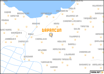
Dapancun (Anhui, China)Dapancun is a town in the Anhui region of China. An overview map of the region around Dapancun is displayed below.
regional and 3d topo map of Dapancun, China ::
Dapancun airports ::
The nearest airport is HFE - Hefei Luogang, located 54.0 km north west of Dapancun.
Other airports nearby include NKG - Nanjing Lukou (126.8 km east), Nearby towns ::
Chongliwei (3.7km south west) //
Hairu (4.0km north east) //
Houlong (4.2km south east) //
Hongzhuang (6.0km south east) //
Maweihe (6.0km north west) //
Bazhenzhen (6.4km south west) //
Weijiaba (6.5km south west) //
Huailin (7.2km north) //
Shuji (6.3km west) //
Xiaoweicun (7.6km north) //
Shangli (7.3km south east) //
Yujiapeng (7.2km east) //
Chaonanlinchang (7.8km north east) //
Zaojiaoshu (8.9km north) //
Liujiadian (9.3km south east) //
Dajiangcun (9.1km north east) //
Qingshan (11.0km south west) //
[all distances 'as the bird flies' and approximate] 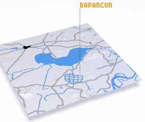 Places with similar names to Dapancun, China ::
// Topangana (ID)
// T'aep'ung-ni (KP)
// Taep'ung-ni (KP)
// Taepang-ni (KR)
// Taep'ung-ni (KP)
// Tapp'ung-ni (KP)
// Taiping'an (CN)
// Dapancun (CN)
// Taipingguan (CN)
// Taipingguan (CN)
Disclaimer :: Information on this page comes without warranty of any kind |
||
|
Where is Dapancun? Elevation and coordinates ::
Latitude (lat): 31°22'0"N Longitude (lon): 117°36'0"E
Elevation (approx.): 19m (map arrows pan, magnifying glasses zoom) |
||
|
Visiting Dapancun? Hotel/Accommodation ::
Book a hotel in Dapancun Travel Guide ::
Buy a travel guide for China rental cars ::
car rental offers GPS waypoint ::
download a GPX waypoint (PoI) of Dapancun for your GPS receiver
|
||