|
search place name
|
||
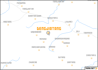
Dengjiatang (Hunan, China)Dengjiatang is a town in the Hunan region of China. An overview map of the region around Dengjiatang is displayed below.
regional and 3d topo map of Dengjiatang, China ::
Dengjiatang airports ::
The nearest airport is CSX - Changcha Huanghua, located 149.8 km north east of Dengjiatang.
Nearby towns ::
Meishui (3.2km south west) //
Daqiaobian (4.2km west) //
Shigutang (5.6km north) //
Dashui (5.7km south) //
Shuangbanqiao (5.3km south east) //
Nanchangping (6.7km south west) //
Shashi (7.4km south east) //
Shantangwan (7.8km north west) //
Liujiaci (7.9km north east) //
Yangjiatan (11.3km north west) //
[all distances 'as the bird flies' and approximate] 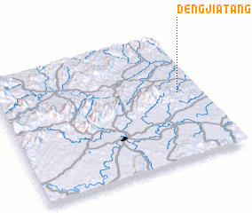 Places with similar names to Dengjiatang, China ::
// Tangjae-dong (KP)
// Tangjŏ-dong (KP)
// Tangjŏ-dong (KP)
// Tongja-dong (KP)
// Tongjae-dong (KP)
// Tongja-dong (KR)
// Dengjiatang (CN)
// Dingjiatang (CN)
// Dongjiadang (CN)
// Dongjiutang (CN)
Disclaimer :: Information on this page comes without warranty of any kind |
||
|
Where is Dengjiatang? Elevation and coordinates ::
Latitude (lat): 27°32'14"N Longitude (lon): 111°53'15"E
Elevation (approx.): 161m (map arrows pan, magnifying glasses zoom) |
||
|
Visiting Dengjiatang? Hotel/Accommodation ::
Book a hotel in Dengjiatang Travel Guide ::
Buy a travel guide for China rental cars ::
car rental offers GPS waypoint ::
download a GPX waypoint (PoI) of Dengjiatang for your GPS receiver
|
||