|
search place name
|
||
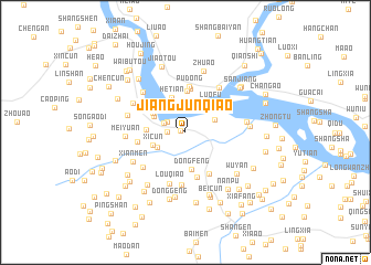
Jiangjunqiao (Zhejiang, China)Jiangjunqiao is a town in the Zhejiang region of China. An overview map of the region around Jiangjunqiao is displayed below.
regional and 3d topo map of Jiangjunqiao, China ::
Jiangjunqiao airports ::
The nearest airport is MZW - Matsu Beigan, located 207.1 km south of Jiangjunqiao.
Other airports nearby include NGB - Ninbo Lishe (217.5 km north), Nearby towns ::
Shiliangzhongchang (0.5km west) //
Oupu (1.6km west) //
Pailou (1.9km north west) //
Shuangyuzhen (2.1km north west) //
Dongcun (2.9km south west) //
Wenzhou (3.0km north east) //
Xicun (3.2km south west) //
Shuangling (3.2km north west) //
Dongfeng (3.7km south) //
Shuangyu (3.5km north west) //
Hetian (3.7km north) //
Luofu (3.6km north east) //
Shang'ao (3.5km west) //
Puxi (4.2km north) //
Qiaoshang (4.0km north west) //
Pudong (4.5km north) //
Pudong (4.6km north) //
Didongyuan (4.7km south) //
Beiwan (4.6km south east) //
Meiyu (4.4km west) //
Yantou (5.3km south) //
Louqiao (5.4km south) //
Gu'antou (5.2km south west) //
Qingshuibuzhen (5.4km north east) //
Yutou (5.5km north west) //
Xiahe (5.5km north west) //
Xianmen (5.5km south west) //
Meiyuan (5.4km west) //
Jishi (5.5km west) //
[all distances 'as the bird flies' and approximate] 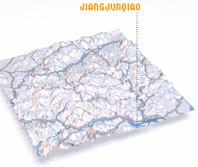 Places with similar names to Jiangjunqiao, China ::
// Jenga Jenga (ZM)
// Jinga Jinga (ZM)
// Jungjing (ID)
// Jiangjing (CN)
// Jingjiang (CN)
// Jingjiang (CN)
// Jingougeng (CN)
Disclaimer :: Information on this page comes without warranty of any kind |
||
|
Where is Jiangjunqiao? Elevation and coordinates ::
Latitude (lat): 28°0'26"N Longitude (lon): 120°37'39"E
Elevation (approx.): 55m (map arrows pan, magnifying glasses zoom) |
||
|
Visiting Jiangjunqiao? Hotel/Accommodation ::
Book a hotel in Jiangjunqiao Travel Guide ::
Buy a travel guide for China rental cars ::
car rental offers GPS waypoint ::
download a GPX waypoint (PoI) of Jiangjunqiao for your GPS receiver
|
||