|
search place name
|
||
Menchaonan (Anhui, China)Menchaonan is a town in the Anhui region of China. An overview map of the region around Menchaonan is displayed below.
regional and 3d topo map of Menchaonan, China ::

Menchaonan airports ::
The nearest airport is HFE - Hefei Luogang, located 77.1 km east of Menchaonan.
Nearby towns ::
Wangji (2.3km west) //
Shunhe (3.1km west) //
Chujiatan (3.7km north) //
Baoxinji (3.7km south east) //
Baoxingji (4.0km south east) //
Liangyingzi (4.9km north west) //
Xin'an (5.9km south) //
Muchangpu (5.4km north east) //
Pidong (6.1km north east) //
Sanshipu (5.8km south east) //
Rongdazhuang (6.0km south west) //
Yangjiagang (7.0km south) //
Yangchalu (7.6km north) //
Zhangxiaomiao (8.3km south) //
Panxin (7.1km east) //
Mataizi (8.7km north east) //
Qiaotouji (8.5km south west) //
Chenfenfang (9.7km south west) //
Shuangqiao (10.5km south east) //
[all distances 'as the bird flies' and approximate] 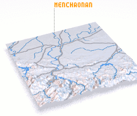 Places with similar names to Menchaonan, China ::
// Miān Channūn (PK)
// Meenychanon (IE)
Disclaimer :: Information on this page comes without warranty of any kind |
||
|
Where is Menchaonan? Elevation and coordinates ::
Latitude (lat): 31°55'0"N Longitude (lon): 116°30'0"E
Elevation (approx.): 36m (map arrows pan, magnifying glasses zoom) |
||
|
Visiting Menchaonan? Hotel/Accommodation ::
Book a hotel in Menchaonan Travel Guide ::
Buy a travel guide for China rental cars ::
car rental offers GPS waypoint ::
download a GPX waypoint (PoI) of Menchaonan for your GPS receiver
|
||