|
search place name
|
||
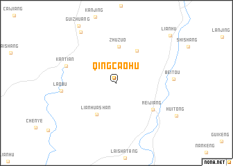
Qingcaohu (Jiangxi, China)Qingcaohu is a town in the Jiangxi region of China. An overview map of the region around Qingcaohu is displayed below.
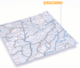
regional and 3d topo map of Qingcaohu, China ::
Nearby towns ::
 Places with similar names to Qingcaohu, China ::
// Kaeng Khoi (TH)
// Cống Khê (VN)
// Cung Khoái (VN)
// Quang Khai (VN)
// Quang Khải (VN)
// Quảng Khê (VN)
// Kanekawkhi (MM)
// Kaungkha (MM)
Disclaimer :: Information on this page comes without warranty of any kind |
||
|
Where is Qingcaohu? Elevation and coordinates ::
Latitude (lat): 26°30'51"N Longitude (lon): 115°57'46"E
Elevation (approx.): 452m (map arrows pan, magnifying glasses zoom) |
||
|
Visiting Qingcaohu? Hotel/Accommodation ::
Book a hotel in Qingcaohu Travel Guide ::
Buy a travel guide for China rental cars ::
car rental offers GPS waypoint ::
download a GPX waypoint (PoI) of Qingcaohu for your GPS receiver
|
||