|
search place name
|
||
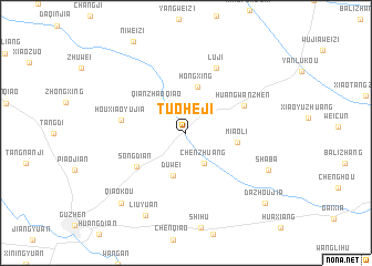
Tuoheji (Anhui, China)Tuoheji is a town in the Anhui region of China. An overview map of the region around Tuoheji is displayed below.
regional and 3d topo map of Tuoheji, China ::
Tuoheji airports ::
The nearest airport is HFE - Hefei Luogang, located 179.4 km south of Tuoheji.
Other airports nearby include NKG - Nanjing Lukou (228.3 km south east), Nearby towns ::
Chenzhuang (3.4km south east) //
Qianzhaoqiao (3.7km north west) //
Duwei (4.5km south) //
Hongxing (4.7km north) //
Miaoli (4.4km east) //
Songdian (5.4km south west) //
Huangwanzhen (5.6km north east) //
Houxiaoyujia (5.6km west) //
Luji (7.0km north) //
Shaba (7.8km south east) //
Liuyuan (9.0km south) //
Qiaokou (9.0km south west) //
Dazhoujia (9.7km south east) //
[all distances 'as the bird flies' and approximate] 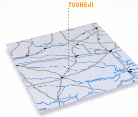 Places with similar names to Tuoheji, China ::
Disclaimer :: Information on this page comes without warranty of any kind |
||
|
Where is Tuoheji? Elevation and coordinates ::
Latitude (lat): 33°23'40"N Longitude (lon): 117°24'42"E
Elevation (approx.): 24m (map arrows pan, magnifying glasses zoom) |
||
|
Visiting Tuoheji? Hotel/Accommodation ::
Book a hotel in Tuoheji Travel Guide ::
Buy a travel guide for China rental cars ::
car rental offers GPS waypoint ::
download a GPX waypoint (PoI) of Tuoheji for your GPS receiver
|
||