|
search place name
|
||
Wangdian (Hubei, China)Wangdian is a town in the Hubei region of China. An overview map of the region around Wangdian is displayed below.
regional and 3d topo map of Wangdian, China ::
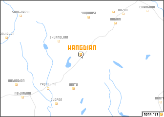
Nearby towns ::
Shuanglian (6.1km north west) //
Heitu (7.1km south) //
Yaqueling (9.5km south west) //
Mudian (10.4km north east) //
[all distances 'as the bird flies' and approximate] 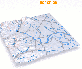 Places with similar names to Wangdian, China ::
// Wanquetin (FR)
// Wang-t'ien (TW)
// Wahnkai Town (LR)
// Wān Ngūtnö (MM)
// Wangdian (CN)
// Wangdian (CN)
// Wangdian (CN)
// Wangdian (CN)
// Wangdian (CN)
// Wangdian (CN)
Disclaimer :: Information on this page comes without warranty of any kind |
||
|
Where is Wangdian? Elevation and coordinates ::
Latitude (lat): 30°42'13"N Longitude (lon): 111°40'6"E
Elevation (approx.): 164m (map arrows pan, magnifying glasses zoom) |
||
|
Visiting Wangdian? Hotel/Accommodation ::
Book a hotel in Wangdian Travel Guide ::
Buy a travel guide for China rental cars ::
car rental offers GPS waypoint ::
download a GPX waypoint (PoI) of Wangdian for your GPS receiver
|
||