|
search place name
|
||
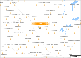
Xiangxingdi (Anhui, China)Xiangxingdi is a town in the Anhui region of China. An overview map of the region around Xiangxingdi is displayed below.
regional and 3d topo map of Xiangxingdi, China ::
Xiangxingdi airports ::
The nearest airport is NKG - Nanjing Lukou, located 97.3 km north east of Xiangxingdi.
Other airports nearby include HFE - Hefei Luogang (123.2 km north west), Nearby towns ::
Xuewu (2.4km east) //
Meitang (3.7km south west) //
Loubo (3.7km south east) //
Jiafa (4.7km south) //
Eshan (5.2km north west) //
Hehualing (6.4km north east) //
Pinggoupu (5.9km east) //
Xinlin (5.9km east) //
Banshiling (6.2km south west) //
Shangbaishan (7.5km south) //
Shifeng (7.3km south west) //
Fanchang (7.9km north west) //
Fengxiangdun (8.4km north east) //
Xiaozhuang (8.4km north east) //
Litouyu (8.7km south) //
Xianchachang (9.6km south east) //
Guishan (10.0km south west) //
[all distances 'as the bird flies' and approximate] 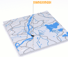 Places with similar names to Xiangxingdi, China ::
// Xiangxingdi (CN)
Disclaimer :: Information on this page comes without warranty of any kind |
||
|
Where is Xiangxingdi? Elevation and coordinates ::
Latitude (lat): 31°2'0"N Longitude (lon): 118°15'30"E
Elevation (approx.): 82m (map arrows pan, magnifying glasses zoom) |
||
|
Visiting Xiangxingdi? Hotel/Accommodation ::
Book a hotel in Xiangxingdi Travel Guide ::
Buy a travel guide for China rental cars ::
car rental offers GPS waypoint ::
download a GPX waypoint (PoI) of Xiangxingdi for your GPS receiver
|
||