|
search place name
|
||
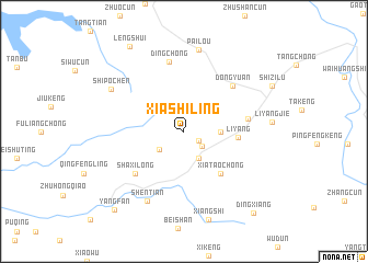
Xiashiling (Anhui, China)Xiashiling is a town in the Anhui region of China. An overview map of the region around Xiashiling is displayed below.
regional and 3d topo map of Xiashiling, China ::
Xiashiling airports ::
The nearest airport is HFE - Hefei Luogang, located 166.9 km north of Xiashiling.
Other airports nearby include KHN - Nanchang Changbei Intl (206.1 km south west), NKG - Nanjing Lukou (221.6 km north east), Nearby towns ::
Xiaohe (1.6km south east) //
Xiaohezhen (2.2km south east) //
Xiahushan (2.8km south west) //
Zhangcun (3.1km south east) //
Huangshakeng Linchang (3.2km east) //
Liyang (4.8km east) //
Xiataochong (5.4km south east) //
Shaxilong (6.1km south west) //
Liucun (5.7km east) //
Dongyuan (6.3km north east) //
Dingchong (7.2km north) //
Shentian (7.8km south west) //
Pailou (8.4km north) //
Shipochen (7.7km north west) //
Lengshui (9.9km north west) //
Yangfan (10.1km south west) //
Dingxiang (10.4km south east) //
[all distances 'as the bird flies' and approximate] 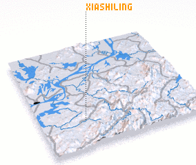 Places with similar names to Xiashiling, China ::
// Żychlinek (PL)
// Sachilunga (ZM)
// Sichilongo (ZM)
// Žichlínek (CZ)
// Sitiaoliang (CN)
// Xiaoshalong (CN)
// Sachilonga (AO)
// Hsi-choling (MM)
Disclaimer :: Information on this page comes without warranty of any kind |
||
|
Where is Xiashiling? Elevation and coordinates ::
Latitude (lat): 30°16'30"N Longitude (lon): 117°17'10"E
Elevation (approx.): 135m (map arrows pan, magnifying glasses zoom) |
||
|
Visiting Xiashiling? Hotel/Accommodation ::
Book a hotel in Xiashiling Travel Guide ::
Buy a travel guide for China rental cars ::
car rental offers GPS waypoint ::
download a GPX waypoint (PoI) of Xiashiling for your GPS receiver
|
||