|
search place name
|
||
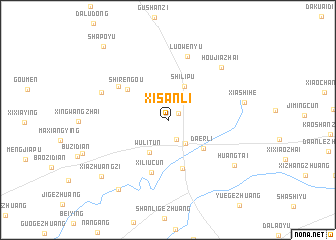
Xisanli (Hebei, China)Xisanli is a town in the Hebei region of China. An overview map of the region around Xisanli is displayed below.
regional and 3d topo map of Xisanli, China ::
Xisanli airports ::
The nearest airport is PEK - Beijing Capital Intl, located 116.4 km west of Xisanli.
Other airports nearby include TSN - Tianjin Binhai (130.2 km south west), Nearby towns ::
Sujiawa (1.2km north east) //
Huangzhuangzi (2.3km south) //
Zunhua (3.0km south east) //
Shilipu (4.0km north) //
Wulitun (4.0km south west) //
Da'erli (4.4km south east) //
Xiaocaodian (5.5km south) //
Shirengou (4.8km north west) //
Xiliucun (6.0km south) //
Caojiabao (5.6km north west) //
Luowenyu (7.3km north) //
Yehushan (6.5km north west) //
Houjiazhai (7.4km north east) //
Xiashihe (6.8km east) //
Huangtai (7.6km south east) //
Guanzhuang (8.8km south west) //
Xiazhuangzi (8.6km south west) //
Shapoyu (9.8km north west) //
[all distances 'as the bird flies' and approximate] 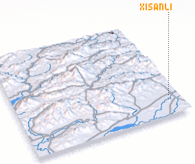 Places with similar names to Xisanli, China ::
// Şahhüseynli (AZ)
// Sousanil (PT)
// Souzouniala (ML)
// Hsi-hsin-liao (TW)
// Hsi-hsin-liao (TW)
Disclaimer :: Information on this page comes without warranty of any kind |
||
|
Where is Xisanli? Elevation and coordinates ::
Latitude (lat): 40°12'11"N Longitude (lon): 117°56'28"E
Elevation (approx.): 54m (map arrows pan, magnifying glasses zoom) |
||
|
Visiting Xisanli? Hotel/Accommodation ::
Book a hotel in Xisanli Travel Guide ::
Buy a travel guide for China rental cars ::
car rental offers GPS waypoint ::
download a GPX waypoint (PoI) of Xisanli for your GPS receiver
|
||