|
search place name
|
||
Xuliu (Jiangsu, China)Xuliu is a town in the Jiangsu region of China. An overview map of the region around Xuliu is displayed below.
regional and 3d topo map of Xuliu, China ::

Nearby towns ::
Miaopu (4.7km south east) //
Guzhuang (5.3km north) //
Hanzhuang (5.1km north west) //
Liulaozhuang (5.6km south east) //
Xisongji (5.5km west) //
Zhuji (5.9km west) //
Tangji (6.9km south west) //
Qianji (7.7km north) //
Guzhai (7.1km north east) //
Xiaowangzhuang (8.1km south west) //
Zhangzhuang (8.1km north west) //
Yaozhuang (8.9km north east) //
Zhuangxu (9.7km north west) //
Chenzhuang (9.4km south east) //
[all distances 'as the bird flies' and approximate] 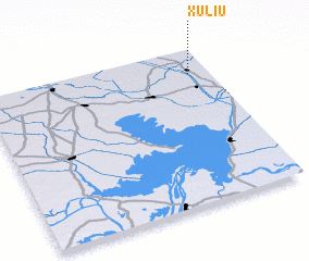 Places with similar names to Xuliu, China ::
Disclaimer :: Information on this page comes without warranty of any kind |
||
|
Where is Xuliu? Elevation and coordinates ::
Latitude (lat): 33°50'26"N Longitude (lon): 118°54'47"E
Elevation (approx.): 10m (map arrows pan, magnifying glasses zoom) |
||
|
Visiting Xuliu? Hotel/Accommodation ::
Book a hotel in Xuliu Travel Guide ::
Buy a travel guide for China rental cars ::
car rental offers GPS waypoint ::
download a GPX waypoint (PoI) of Xuliu for your GPS receiver
|
||