|
search place name
|
||
Akamāt (‘Adan, Yemen)Akamāt is a town in the ‘Adan region of Yemen. An overview map of the region around Akamāt is displayed below.
regional and 3d topo map of Akamāt, Yemen ::
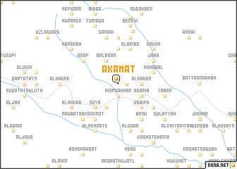
Nearby towns ::
Al ‘Adhārib (1.3km east) //
Ḩişn Şaḩḩār (1.9km south) //
Al Haden (3.6km east) //
Balasān (4.1km north west) //
Adārib (4.0km south east) //
As Suba (4.1km south west) //
Soya (5.2km south west) //
Nadue (5.2km south east) //
Usaifa (5.2km south east) //
Sūq an Naqīb (5.6km north) //
Maşna‘ah (5.6km north) //
Salūlah (5.6km north) //
Rahabal (5.7km east) //
Al Aribe (5.8km north) //
Araf (6.5km north west) //
Najd al Jamā‘ī (6.6km south west) //
Arisi (6.6km south east) //
Jaha (6.5km north east) //
Ubālah (6.5km south east) //
Belassar (7.4km north) //
Kataba (7.6km north) //
Al Fejaie (7.6km north) //
Ar Robaal (7.6km north) //
Rafai (7.6km north) //
Sanahi (7.6km north) //
Mohajene Ali (7.4km east) //
Yoban (7.4km east) //
Al Guba (7.6km south) //
Nawbat Mokairinat (7.7km south west) //
[all distances 'as the bird flies' and approximate] 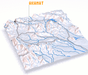 Places with similar names to Akamāt, Yemen ::
Disclaimer :: Information on this page comes without warranty of any kind |
||
|
Where is Akamāt? Elevation and coordinates ::
Latitude (lat): 13°55'0"N Longitude (lon): 44°24'0"E
Elevation (approx.): 1750m (map arrows pan, magnifying glasses zoom) |
||
|
Visiting Akamāt? Hotel/Accommodation ::
Book a hotel in Akamāt Travel Guide ::
Buy a travel guide for Yemen rental cars ::
car rental offers GPS waypoint ::
download a GPX waypoint (PoI) of Akamāt for your GPS receiver
|
||