|
search place name
|
||
Al Kadāh (‘Adan, Yemen)Al Kadāh is a town in the ‘Adan region of Yemen. An overview map of the region around Al Kadāh is displayed below.
regional and 3d topo map of Al Kadāh, Yemen ::
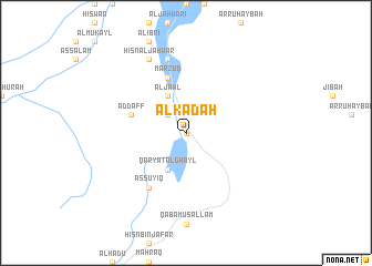
Nearby towns ::
Sākin as Sādah (0.0km north) //
Al Miljī (2.6km north west) //
Qaryat al Ghayl (4.1km south west) //
Ḩişn al Wusr (4.1km north west) //
Al Khulāq (4.1km north west) //
Al Ma‘lāh (4.1km north west) //
Al Jawl (4.1km north west) //
Hanḩ (4.1km north west) //
Al Qayd (5.8km north) //
Badūwah (5.8km north) //
Marzūq (5.8km north) //
Ad Daff (5.7km west) //
As Suyiq (6.6km south west) //
Aryab (6.6km south west) //
As Silābah (7.6km north) //
Al Ḩujayrah (7.6km north) //
Ḩişn al Jahwar (8.2km north west) //
Zaqrah (8.2km north west) //
[all distances 'as the bird flies' and approximate] 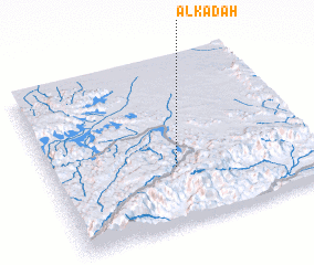 Places with similar names to Al Kadāh, Yemen ::
Disclaimer :: Information on this page comes without warranty of any kind |
||
|
Where is Al Kadāh? Elevation and coordinates ::
Latitude (lat): 14°21'0"N Longitude (lon): 46°29'0"E
Elevation (approx.): 1182m (map arrows pan, magnifying glasses zoom) |
||
|
Visiting Al Kadāh? Hotel/Accommodation ::
Book a hotel in Al Kadāh Travel Guide ::
Buy a travel guide for Yemen rental cars ::
car rental offers GPS waypoint ::
download a GPX waypoint (PoI) of Al Kadāh for your GPS receiver
|
||