|
search place name
|
||
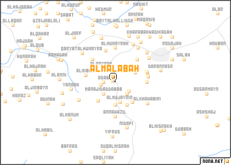
Al Ma‘labah (‘Adan, Yemen)Al Ma‘labah is a town in the ‘Adan region of Yemen. An overview map of the region around Al Ma‘labah is displayed below.
regional and 3d topo map of Al Ma‘labah, Yemen ::
Nearby towns ::
Qaryat ad Dār (0.5km north west) //
‘Asāb (1.8km west) //
Maslaqah (2.3km west) //
Z̧abāb (2.6km south east) //
Manājid aḑ Ḑabāb (2.6km south west) //
Wādī an Nibāq (2.6km south east) //
Al Qayrāf (3.1km north west) //
Al Mujayrīn (3.3km south) //
Adūd (3.5km north east) //
‘Adan (3.7km south) //
Wādī al Aḩmar Hajam (4.1km south west) //
Al ‘Arūs (4.1km south east) //
Qaryat al ‘Uzlah (4.2km south east) //
Al Mibhā (4.8km west) //
Al Masāliyah (5.0km east) //
Al Ḩabīl (5.1km north east) //
Al Qar‘ah (5.2km north west) //
Al Alwāḩ (5.3km north) //
Al Mīhāl (5.3km east) //
Dhī ‘Unqub (5.3km east) //
Al Masālīyah (5.3km east) //
Al Ḩumayrah (5.6km north) //
An Nawāzil (5.6km south) //
Al Khawābirī (6.1km south east) //
Qaryat Wādī al Biʼr (6.5km south west) //
Tahun (6.6km north east) //
Şīnah (6.6km north east) //
Biʼr Bāshah (6.8km north east) //
Al Hasab (6.9km north east) //
[all distances 'as the bird flies' and approximate] 
Disclaimer :: Information on this page comes without warranty of any kind |
||
|
Where is Al Ma‘labah? Elevation and coordinates ::
Latitude (lat): 13°32'0"N Longitude (lon): 43°57'0"E
Elevation (approx.): 1203m (map arrows pan, magnifying glasses zoom) |
||
|
Visiting Al Ma‘labah? Hotel/Accommodation ::
Book a hotel in Al Ma‘labah Travel Guide ::
Buy a travel guide for Yemen rental cars ::
car rental offers GPS waypoint ::
download a GPX waypoint (PoI) of Al Ma‘labah for your GPS receiver
|
||