|
search place name
|
||
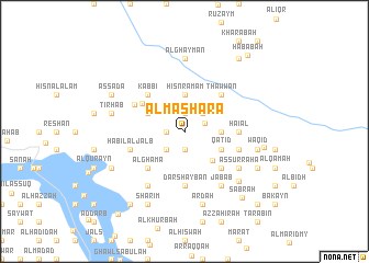
Al Masharaʼ (‘Adan, Yemen)Al Masharaʼ is a town in the ‘Adan region of Yemen. An overview map of the region around Al Masharaʼ is displayed below.
regional and 3d topo map of Al Masharaʼ, Yemen ::
Nearby towns ::
Aş Şawma‘ah (1.9km north) //
Al Aḩsūn (1.8km west) //
‘Ar‘ar (1.9km north) //
Ash Shim‘ān (1.9km south) //
Quḩlān (2.2km north east) //
Al Madu (2.6km south west) //
Anjūd (2.6km north east) //
Ḩişn Ramam (3.7km north) //
Bukhl (3.6km east) //
‘Awābil (4.1km south east) //
Marwī al Kabīr (4.0km north west) //
Qatid (4.0km south east) //
Al Katamī (5.0km north west) //
Kabbī (5.2km north west) //
Al Ghamá (5.2km south west) //
Thawwān (5.2km north east) //
Ḩawādid (5.2km south east) //
Haial (5.4km east) //
Dār Shaybān (5.6km south) //
Al Katamī (5.7km north west) //
Ḩabīl al Jalb (5.7km west) //
As Sala (5.7km east) //
Aş Şarifah (6.6km south west) //
Al Ḩişwar (6.6km south west) //
As Surraha (6.5km south east) //
Al Jamīmah (6.6km south east) //
Jabāb (6.6km south east) //
Al Ghaymān (7.4km north) //
Sharaf (7.4km south east) //
[all distances 'as the bird flies' and approximate]  Places with similar names to Al Masharaʼ, Yemen ::
// Al Musharraḩ (IQ)
// Almáchar (ES)
// Alamshīr (IR)
// Al Mashaēr (SA)
// Al Mushīrah (SA)
// Ālam Sher (PK)
// Alam Sherī (PK)
// Ālam Sheri (PK)
// Al Mushīr (SY)
// Al Mashrū‘ (IQ)
Disclaimer :: Information on this page comes without warranty of any kind |
||
|
Where is Al Masharaʼ? Elevation and coordinates ::
Latitude (lat): 13°52'0"N Longitude (lon): 44°50'0"E
Elevation (approx.): 1994m (map arrows pan, magnifying glasses zoom) |
||
|
Visiting Al Masharaʼ? Hotel/Accommodation ::
Book a hotel in Al Masharaʼ Travel Guide ::
Buy a travel guide for Yemen rental cars ::
car rental offers GPS waypoint ::
download a GPX waypoint (PoI) of Al Masharaʼ for your GPS receiver
|
||