|
search place name
|
||
Al Mu‘ayzibah (‘Adan, Yemen)Al Mu‘ayzibah is a town in the ‘Adan region of Yemen. An overview map of the region around Al Mu‘ayzibah is displayed below.
regional and 3d topo map of Al Mu‘ayzibah, Yemen ::

Nearby towns ::
Qarn Bā ‘Alawī (0.0km north) //
Al Ḩasūsah (1.8km east) //
Ar Raydah (1.8km east) //
Bilād Lamāţir (1.8km east) //
Miḩjil (2.6km south east) //
Maḩjil (4.0km south east) //
Bilād al Khaḑrāʼ (5.2km north west) //
Bā Şafāʼ (7.2km east) //
Al Ḩawţah (7.4km east) //
Qurayr (7.7km north west) //
Al Burayyirah (7.7km north west) //
Sharj as Sayyid (8.2km north west) //
Bā Janaf (9.1km south west) //
Ar Ridāḩah (9.2km north west) //
Nabwah (9.2km north west) //
Al Mishbāb (10.3km north west) //
[all distances 'as the bird flies' and approximate] 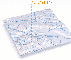 Places with similar names to Al Mu‘ayzibah, Yemen ::
// Al Musayyib (IQ)
// Al Mi‘zāb (YE)
// Al Ma‘zabah (YE)
// Al Ma‘zibah (YE)
// Al Muşbāḩ (YE)
// Al Maşabah (YE)
// Al Musabbiḩ (YE)
Disclaimer :: Information on this page comes without warranty of any kind |
||
|
Where is Al Mu‘ayzibah? Elevation and coordinates ::
Latitude (lat): 14°22'0"N Longitude (lon): 47°20'0"E
Elevation (approx.): 709m (map arrows pan, magnifying glasses zoom) |
||
|
Visiting Al Mu‘ayzibah? Hotel/Accommodation ::
Book a hotel in Al Mu‘ayzibah Travel Guide ::
Buy a travel guide for Yemen rental cars ::
car rental offers GPS waypoint ::
download a GPX waypoint (PoI) of Al Mu‘ayzibah for your GPS receiver
|
||