|
search place name
|
||
Dār al Watid (Ta‘izz, Yemen)Dār al Watid is a town in the Ta‘izz region of Yemen. An overview map of the region around Dār al Watid is displayed below.
regional and 3d topo map of Dār al Watid, Yemen ::
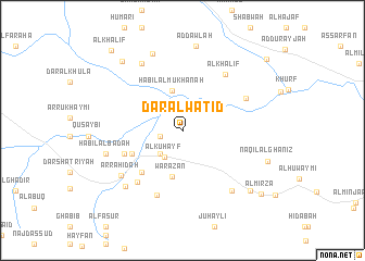
Nearby towns ::
Ar Rakhmī (2.3km west) //
Al Kuḩayf (3.3km south west) //
Tāriyanj (3.3km north west) //
Dār ar Raydah (3.3km south west) //
Ḩabīl al Mukhānah (4.2km north) //
Warazān (4.8km south) //
Ad Dayyām (5.5km south west) //
Al Ḩamārīyah (5.9km south west) //
Dār ‘Abūqah (6.3km south west) //
Ḩabīl ad Dūdah (6.9km south west) //
Dār ‘Abd ar Raḩīm (7.1km south) //
Al Khalīf (7.2km north east) //
Ḩabīl Muftarishah (7.2km north east) //
Ar Rāḩidah (7.7km south west) //
Sha‘rah (7.9km north west) //
Asher (7.9km south east) //
Ḩabīl al Bādah (8.0km west) //
‘Ukaymah (8.1km south west) //
Umm Midfānah (8.5km north) //
Ad Dawlah (8.8km north) //
Şabrah (9.2km south east) //
Naqīl al Ghaniz (9.1km east) //
Al Jirbah (9.3km north west) //
Al Mirzā (10.2km south east) //
Al Khalīf (10.8km north west) //
Al Kufūf (11.1km north east) //
[all distances 'as the bird flies' and approximate] 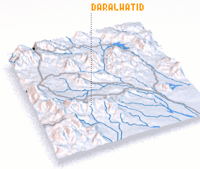 Places with similar names to Dār al Watid, Yemen :: Disclaimer :: Information on this page comes without warranty of any kind |
||
|
Where is Dār al Watid? Elevation and coordinates ::
Latitude (lat): 13°25'19"N Longitude (lon): 44°22'14"E
Elevation (approx.): 915m (map arrows pan, magnifying glasses zoom) |
||
|
Visiting Dār al Watid? Hotel/Accommodation ::
Book a hotel in Dār al Watid Travel Guide ::
Buy a travel guide for Yemen rental cars ::
car rental offers GPS waypoint ::
download a GPX waypoint (PoI) of Dār al Watid for your GPS receiver
|
||