|
search place name
|
||
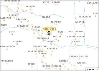
Mabrūt (Al Ḩudaydah, Yemen)Mabrūt is a town in the Al Ḩudaydah region of Yemen. An overview map of the region around Mabrūt is displayed below.
regional and 3d topo map of Mabrūt, Yemen ::
Mabrūt airports ::
The nearest airport is GIZ - Gizan King Abdullah Bin Abdulaziz, located 200.7 km north west of Mabrūt.
Nearby towns ::
Shulayḩ (1.0km north west) //
Zubayyilī (2.7km south east) //
Al Maḩāriq (2.8km west) //
Al ‘Ashawān (3.0km west) //
Makamra (3.2km south) //
Al Kuwayrah (3.2km south west) //
Al Ḩusaynīyah (3.6km south east) //
Hasira (4.2km east) //
Shafahsin (4.9km north east) //
An Nāşirī (5.3km north west) //
Maḩall Aḩmad Muḩammad (5.8km south west) //
Şabārīyah (5.9km south) //
Nāşirī (5.7km west) //
Maḩall al Ashrāf (6.1km south) //
Al Khala (6.2km north) //
Maḩall al ‘Abīd (6.2km south west) //
Al Kadan (6.4km west) //
Dajrat Aḩmad Mu‘āfā (6.9km south west) //
Hardha (7.0km west) //
Al Madāfin (7.2km south) //
Dār an Najā (7.8km north west) //
Duḩrah (8.0km south) //
Maḩall al Mazbal (8.4km south west) //
Ad Dāḩir (8.5km south) //
Maḩall al ‘Abīd (8.5km south west) //
Mufraḩ (9.6km north west) //
As Saqāʼif (10.7km north west) //
[all distances 'as the bird flies' and approximate] 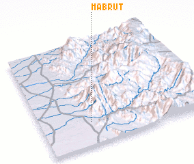 Places with similar names to Mabrūt, Yemen ::
Disclaimer :: Information on this page comes without warranty of any kind |
||
|
Where is Mabrūt? Elevation and coordinates ::
Latitude (lat): 15°13'43"N Longitude (lon): 43°18'40"E
Elevation (approx.): 291m (map arrows pan, magnifying glasses zoom) |
||
|
Visiting Mabrūt? Hotel/Accommodation ::
Book a hotel in Mabrūt Travel Guide ::
Buy a travel guide for Yemen rental cars ::
car rental offers GPS waypoint ::
download a GPX waypoint (PoI) of Mabrūt for your GPS receiver
|
||