|
search place name
|
||
Mahalla (‘Adan, Yemen)Mahalla is a town in the ‘Adan region of Yemen. An overview map of the region around Mahalla is displayed below.
regional and 3d topo map of Mahalla, Yemen ::
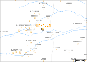
Nearby towns ::
Maḩaţţ (2.6km north east) //
Dimnah (4.1km north west) //
Maḩaţţ (4.1km south east) //
Al Muqādimah (4.1km west) //
Al Ḩusaynīyah (4.3km east) //
Al Kalāfid (5.2km west) //
Al Qubay‘ (5.3km west) //
Kūba‘ (5.8km north) //
Al Qawādir (6.1km west) //
Al Khaşr (6.8km north west) //
Al Ghānimīyah (6.7km west) //
Murrah (7.2km south) //
Al Qāsimīyah (7.3km south west) //
Buyūt Sulaymān Hibah (7.3km north west) //
Buyūt ad Darānīyah (7.3km west) //
Mesalea (7.6km north) //
Ash Shikālīyah (7.7km west) //
Al Buhaymā (8.5km north west) //
Al Ḩawālī (9.3km south west) //
‘Urayhin (9.5km south west) //
Badwah (9.6km south east) //
Al ‘Ursīyah (9.9km south west) //
[all distances 'as the bird flies' and approximate] 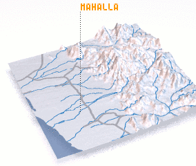 Places with similar names to Mahalla, Yemen ::
Disclaimer :: Information on this page comes without warranty of any kind |
||
|
Where is Mahalla? Elevation and coordinates ::
Latitude (lat): 14°22'0"N Longitude (lon): 43°17'0"E
Elevation (approx.): 98m (map arrows pan, magnifying glasses zoom) |
||
|
Visiting Mahalla? Hotel/Accommodation ::
Book a hotel in Mahalla Travel Guide ::
Buy a travel guide for Yemen rental cars ::
car rental offers GPS waypoint ::
download a GPX waypoint (PoI) of Mahalla for your GPS receiver
|
||