|
search place name
|
||
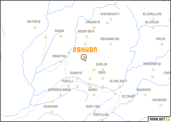
Rahwān (‘Adan, Yemen)Rahwān is a town in the ‘Adan region of Yemen. An overview map of the region around Rahwān is displayed below.
regional and 3d topo map of Rahwān, Yemen ::
Rahwān airports ::
The nearest airport is GIZ - Gizan King Abdullah Bin Abdulaziz, located 67.6 km west of Rahwān.
Other airports nearby include EAM - Nejran (154.2 km north east), AHB - Abha (166.7 km north), Nearby towns ::
Maharrah (2.6km south east) //
Madhūs (2.6km south east) //
Burkān al Yaḑr (3.7km north) //
Al Qūwah (3.9km south) //
Ghālib (4.0km south east) //
Numayr (4.1km south west) //
Abadīyah (4.0km north west) //
Al Khūbah (5.1km south) //
‘Aqīm (5.1km south east) //
Aḑ Ḑayaʼah (5.4km north) //
Maḩāţah (5.3km west) //
‘Ajam (5.7km south) //
Qarn Muzabbar (5.8km south) //
Buthal (6.6km south east) //
Ru‘aylī (6.6km south west) //
As Suwādah (6.5km north east) //
Dhahī (7.6km south) //
Madhaya (7.6km north) //
Shidā‘ (7.7km north west) //
Umm ad Dubbah (9.1km south west) //
Al Malāḩiţ (9.0km south east) //
Al Malāḩiţ (9.5km south east) //
An Naḑīr (9.6km north east) //
Khushaym (9.9km north west) //
Mundaraq (11.3km south west) //
[all distances 'as the bird flies' and approximate] 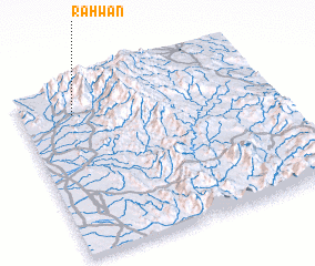 Places with similar names to Rahwān, Yemen ::
Disclaimer :: Information on this page comes without warranty of any kind |
||
|
Where is Rahwān? Elevation and coordinates ::
Latitude (lat): 16°50'0"N Longitude (lon): 43°13'0"E
Elevation (approx.): 453m (map arrows pan, magnifying glasses zoom) |
||
|
Visiting Rahwān? Hotel/Accommodation ::
Book a hotel in Rahwān Travel Guide ::
Buy a travel guide for Yemen rental cars ::
car rental offers GPS waypoint ::
download a GPX waypoint (PoI) of Rahwān for your GPS receiver
|
||