|
search place name
|
||
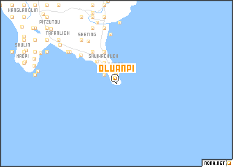
O-luan-pi (T'ai-wan, Taiwan)O-luan-pi is a town in the T'ai-wan region of Taiwan. An overview map of the region around O-luan-pi is displayed below.
regional and 3d topo map of O-luan-pi, Taiwan ::
O-luan-pi airports ::
The nearest airport is KYD - Lanyu, located 71.9 km east of O-luan-pi.
Other airports nearby include KHH - Kaohsiung Intl (90.7 km north west), PIF - Pingtung South (94.1 km north west), TTT - Fengnin (97.7 km north), GNI - Green Island Lyudao (106.3 km north east), Nearby towns ::
K'eng-ting (1.4km north) //
Pu-ting (2.0km north) //
Sha-tao (2.3km north west) //
Hsiang-chiao-wan (2.3km north west) //
Fan-tzu-liao (2.5km north west) //
Shui-wa-chüeh (3.7km north west) //
Ch'uan-fan-shih (4.6km north west) //
Feng-ch'ui-sha (5.4km north) //
Shui-yüan-ti (6.2km north west) //
Lung-tzu-pu (6.2km north west) //
K'en-ting (7.0km north west) //
Chung-i (7.9km north) //
Ya-kou-lu (7.9km north) //
She-ting (7.9km north west) //
Kuei-chiao-liu (8.7km north west) //
Hsiao-kang (9.0km north) //
Kang-ch'ien-lu (9.0km north) //
T'an-tzu (8.6km north west) //
T'an-tzu-wan (8.9km north west) //
Kang-k'ou-lu (9.5km north) //
[all distances 'as the bird flies' and approximate] 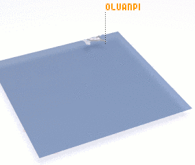 Places with similar names to O-luan-pi, Taiwan :: Disclaimer :: Information on this page comes without warranty of any kind |
||
|
Where is O-luan-pi? Elevation and coordinates ::
Latitude (lat): 21°54'14"N Longitude (lon): 120°51'3"E
Elevation (approx.): 24m (map arrows pan, magnifying glasses zoom) |
||
|
Visiting O-luan-pi? Hotel/Accommodation ::
Book a hotel in O-luan-pi Travel Guide ::
Buy a travel guide for Taiwan rental cars ::
car rental offers GPS waypoint ::
download a GPX waypoint (PoI) of O-luan-pi for your GPS receiver
|
||