|
search place name
|
||
Gradska (Srbija, Serbia and Montenegro)Gradska is a town in the Srbija region of Serbia and Montenegro. An overview map of the region around Gradska is displayed below.
regional and 3d topo map of Gradska, Serbia and Montenegro ::

Gradska airports ::
The nearest airport is INI - Nis, located 67.9 km north west of Gradska.
Other airports nearby include SOF - Sofia (84.8 km east), PRN - Pristina (116.6 km west), SKP - Skopje (119.9 km south west), CRA - Craiova (200.5 km north east), Nearby towns ::
Bisini (0.9km east) //
Jabukovik (4.2km north west) //
Stranje (4.1km south east) //
Lanište (4.3km north west) //
Darkovce (3.9km west) //
Kalna (4.0km east) //
Kruščica (4.3km south west) //
Preslap (5.9km south) //
Vidryište (4.7km south east) //
Radosin (6.4km north) //
Rakov Dol (6.2km north) //
Crvena Jabuka (6.0km north east) //
Krivi Del (6.9km north west) //
Gornje Gare (7.8km north west) //
Strezimirovci (9.1km south) //
Dobroviš (9.2km north) //
Slishovtsi (9.2km south east) //
Stranjevo (9.9km north west) //
Crna Trava (9.7km south west) //
[all distances 'as the bird flies' and approximate] 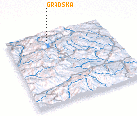 Places with similar names to Gradska, Serbia and Montenegro ::
Disclaimer :: Information on this page comes without warranty of any kind |
||
|
Where is Gradska? Elevation and coordinates ::
Latitude (lat): 42°52'30"N Longitude (lon): 22°23'55"E
Elevation (approx.): 742m (map arrows pan, magnifying glasses zoom) |
||
|
Visiting Gradska? Hotel/Accommodation ::
Book a hotel in Gradska Travel Guide ::
rental cars ::
car rental offers GPS waypoint ::
download a GPX waypoint (PoI) of Gradska for your GPS receiver
|
||