|
search place name
|
||
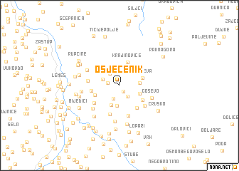
Osječenik (Srbija, Serbia and Montenegro)Osječenik is a town in the Srbija region of Serbia and Montenegro. An overview map of the region around Osječenik is displayed below.
regional and 3d topo map of Osječenik, Serbia and Montenegro ::
Osječenik airports ::
The nearest airport is TGD - Podgorica, located 100.5 km south west of Osječenik.
Other airports nearby include PRN - Pristina (115.3 km south east), TIV - Tivat (124.1 km south west), SJJ - Sarajevo (144.8 km north west), DBV - Dubrovnik (145.3 km south west), Nearby towns ::
Trešnjevica (1.0km south east) //
Jezero (1.4km west) //
Bilegija (2.0km south east) //
Zaklopača (2.2km south) //
Blato (2.1km north west) //
Pušine (2.1km north west) //
Nikače (2.4km east) //
Makva (3.2km south) //
Bare (3.2km south) //
Greben (2.7km south east) //
Višnjeva (2.9km north east) //
Krajinoviće (3.8km north) //
Zahumsko (3.1km south west) //
Danevina (3.5km south east) //
Konatari (3.3km west) //
Grgaje (4.1km south east) //
Borišiće (4.6km south) //
Zabrdo (4.0km south west) //
Požeginja (4.9km south) //
Plana (3.7km west) //
Zabrđe (4.3km south east) //
Goševo (4.2km south east) //
Bjelice (4.7km south west) //
Jablanovo (5.6km south) //
Strane (4.5km north west) //
Sokolovo Brdo (4.4km west) //
Komadine (6.1km south) //
Pećarska (5.7km south west) //
Vašine (4.9km west) //
[all distances 'as the bird flies' and approximate] 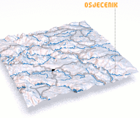 Places with similar names to Osječenik, Serbia and Montenegro ::
Disclaimer :: Information on this page comes without warranty of any kind |
||
|
Where is Osječenik? Elevation and coordinates ::
Latitude (lat): 43°8'43"N Longitude (lon): 19°51'32"E
Elevation (approx.): 1421m (map arrows pan, magnifying glasses zoom) |
||
|
Visiting Osječenik? Hotel/Accommodation ::
Book a hotel in Osječenik Travel Guide ::
rental cars ::
car rental offers GPS waypoint ::
download a GPX waypoint (PoI) of Osječenik for your GPS receiver
|
||