|
search place name
|
||
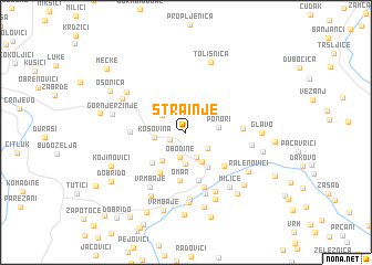
Strainje (Srbija, Serbia and Montenegro)Strainje is a town in the Srbija region of Serbia and Montenegro. An overview map of the region around Strainje is displayed below.
regional and 3d topo map of Strainje, Serbia and Montenegro ::
Strainje airports ::
The nearest airport is INI - Nis, located 119.5 km east of Strainje.
Other airports nearby include PRN - Pristina (120.4 km south east), BEG - Beograd (140.8 km north), TGD - Podgorica (162.7 km south west), TIV - Tivat (187.5 km south west), Nearby towns ::
Privoje (1.4km south west) //
Obodine (2.6km south) //
Šolač (2.6km south) //
Orlja Glava (2.3km south east) //
Debeli Jasen (2.4km north west) //
Rudine (3.2km south) //
Kosovina (2.4km west) //
Čalja (3.2km south) //
Ponori (2.5km east) //
Grdan (3.3km south west) //
Graići (3.9km south east) //
Mlanča (4.0km south west) //
Omar (4.8km south) //
Vrmbaje (4.5km south west) //
Mlanča (5.0km south) //
Garina (4.4km south east) //
Krasino Brdo (4.1km west) //
Ornice (4.2km east) //
Jaćovac (5.7km south) //
Rupe (6.3km south) //
Colognole (6.3km south) //
Vrmbaje (6.1km south west) //
Despotovica (6.7km south) //
Savovo (5.0km east) //
Miliće (6.3km south east) //
Dragičevići (7.1km south) //
Dukanci (5.8km north west) //
Boskovići (6.0km north west) //
Borkovo (7.0km south) //
[all distances 'as the bird flies' and approximate] 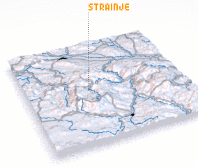 Places with similar names to Strainje, Serbia and Montenegro ::
Disclaimer :: Information on this page comes without warranty of any kind |
||
|
Where is Strainje? Elevation and coordinates ::
Latitude (lat): 43°33'12"N Longitude (lon): 20°24'26"E
Elevation (approx.): 1147m (map arrows pan, magnifying glasses zoom) |
||
|
Visiting Strainje? Hotel/Accommodation ::
Book a hotel in Strainje Travel Guide ::
rental cars ::
car rental offers GPS waypoint ::
download a GPX waypoint (PoI) of Strainje for your GPS receiver
|
||