|
search place name
|
||
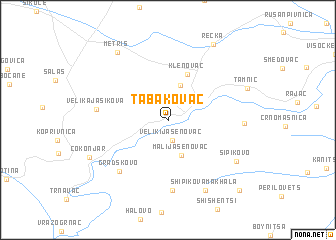
Tabakovac (Srbija, Serbia and Montenegro)Tabakovac is a town in the Srbija region of Serbia and Montenegro. An overview map of the region around Tabakovac is displayed below.
regional and 3d topo map of Tabakovac, Serbia and Montenegro ::
Tabakovac airports ::
The nearest airport is INI - Nis, located 93.7 km south west of Tabakovac.
Other airports nearby include CRA - Craiova (119.9 km east), CSB - Caransebes (150.6 km north), SOF - Sofia (172.1 km south east), PRN - Pristina (201.1 km south west), Nearby towns ::
Veliki Jasenovac (2.3km south) //
Brusnik (4.0km north) //
Mali Jasenovac (4.0km south) //
Klenovac (5.3km north) //
Gradskovo (6.9km south west) //
Gradskovski Kolibi (7.8km south) //
Velika Jasikova (5.9km west) //
Braćevac (6.1km east) //
Šipikovo (7.1km south east) //
Shipikova Makhala (8.4km south) //
Metriš (8.5km north west) //
Tamnič (7.2km north east) //
Čokonjar (7.6km south west) //
Rečka (9.2km north east) //
Borilovets (9.6km south east) //
[all distances 'as the bird flies' and approximate] 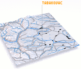 Places with similar names to Tabakovac, Serbia and Montenegro ::
Disclaimer :: Information on this page comes without warranty of any kind |
||
|
Where is Tabakovac? Elevation and coordinates ::
Latitude (lat): 44°4'13"N Longitude (lon): 22°25'46"E
Elevation (approx.): 180m (map arrows pan, magnifying glasses zoom) |
||
|
Visiting Tabakovac? Hotel/Accommodation ::
Book a hotel in Tabakovac Travel Guide ::
rental cars ::
car rental offers GPS waypoint ::
download a GPX waypoint (PoI) of Tabakovac for your GPS receiver
|
||