|
search place name
|
||
Aït Bigarso (Tiznit, Morocco)Aït Bigarso is a town in the Tiznit region of Morocco. An overview map of the region around Aït Bigarso is displayed below.
regional and 3d topo map of Aït Bigarso, Morocco ::

Aït Bigarso airports ::
The nearest airport is TTA - Tan Tan Plage Blanche, located 129.2 km south west of Aït Bigarso.
Other airports nearby include AGA - Agadir Inezgane (140.4 km north east), Nearby towns ::
Dial Ou Mecheiriga (0.0km north) //
Id Anigli (1.6km east) //
Id Issoa (1.6km west) //
Bou Ragloua (2.5km south west) //
Id Oursa (2.5km south east) //
Tabaïnout (2.5km south east) //
Mohammed Ou Rami (2.5km south west) //
Id Buasa (2.5km north east) //
Id Bouhari (2.5km north east) //
El Güert Brahim Ben Aali (2.5km south west) //
Agourout (3.7km south) //
Esnourba (3.2km west) //
Agadir Laaseri (3.7km south east) //
Id el Hach (3.7km north east) //
Id Ali U Mehand (3.7km north east) //
Id Bu Hach (4.9km south east) //
El Bos (4.9km south east) //
Ez-xela Kim (4.9km south west) //
El Herabla (4.9km south west) //
Agadir Igourrou (4.9km east) //
Cheïkh Sidi Balaid (5.6km south) //
Embark Sidi (5.6km south) //
Isomai (5.2km east) //
Id Ou Gni (5.2km east) //
Asbaro (5.8km south) //
Id Embark (6.1km south west) //
Tisaguine (6.4km south east) //
Bousarma (6.1km south west) //
Digouta (6.4km north east) //
[all distances 'as the bird flies' and approximate] 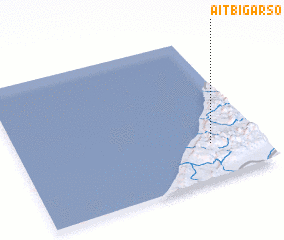 Places with similar names to Aït Bigarso, Morocco :: Disclaimer :: Information on this page comes without warranty of any kind |
||
|
Where is Aït Bigarso? Elevation and coordinates ::
Latitude (lat): 29°15'0"N Longitude (lon): 10°12'0"W
Elevation (approx.): 266m (map arrows pan, magnifying glasses zoom) |
||
|
Visiting Aït Bigarso? Hotel/Accommodation ::
Book a hotel in Aït Bigarso Travel Guide ::
Buy a travel guide for Morocco rental cars ::
car rental offers GPS waypoint ::
download a GPX waypoint (PoI) of Aït Bigarso for your GPS receiver
|
||