|
search place name
|
||
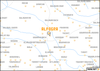
Al Fogra (El Kelaa des Sraghna, Morocco)Al Fogra is a town in the El Kelaa des Sraghna region of Morocco. An overview map of the region around Al Fogra is displayed below.
regional and 3d topo map of Al Fogra, Morocco ::
Al Fogra airports ::
The nearest airport is RAK - Marrakech Menara, located 54.4 km west of Al Fogra.
Other airports nearby include OZZ - Ouarzazate (96.6 km south east), CMN - Casablanca Mohammed V Intl (189.0 km north), Nearby towns ::
Jenane el Menzeh (0.0km north) //
Douar Sidi el Hachemi (2.4km south west) //
Sidi Rahhal (2.5km west) //
Douar Kebach (3.7km south west) //
Oulad Ali (3.7km north east) //
Kerroum (3.7km south east) //
Oulad Amouch (4.7km north) //
Aït Adel (5.6km south) //
Douar el Hajj Ali (5.1km east) //
Fakarine (5.1km east) //
Tazert (5.2km east) //
Bou Rhanem (6.0km south east) //
El Haji Omar Tadderine (6.0km south west) //
Bou Izmaoun (6.4km south east) //
El Hinani (7.4km south) //
Lagh (7.6km south east) //
Imaadene (9.1km south) //
El Bour (8.4km south west) //
Aheji (8.4km south west) //
Chtaouna (8.9km north east) //
Oulad Chaoui (8.9km north east) //
[all distances 'as the bird flies' and approximate] 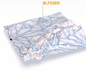 Places with similar names to Al Fogra, Morocco ::
// Alfacar (ES)
// Alafiakrou (BJ)
// Al Faqīrah (SA)
// Al Fuqar (LY)
// Al Fuqarāʼ (SD)
// Al Fuqarāʼ (SD)
// Al Foukara (MA)
// Al Fiqrah (YE)
Disclaimer :: Information on this page comes without warranty of any kind |
||
|
Where is Al Fogra? Elevation and coordinates ::
Latitude (lat): 31°40'0"N Longitude (lon): 7°28'0"W
Elevation (approx.): 665m (map arrows pan, magnifying glasses zoom) |
||
|
Visiting Al Fogra? Hotel/Accommodation ::
Book a hotel in Al Fogra Travel Guide ::
Buy a travel guide for Morocco rental cars ::
car rental offers GPS waypoint ::
download a GPX waypoint (PoI) of Al Fogra for your GPS receiver
|
||