|
search place name
|
||
Amerdout (Ouarzazate, Morocco)Amerdout is a town in the Ouarzazate region of Morocco. An overview map of the region around Amerdout is displayed below.
regional and 3d topo map of Amerdout, Morocco ::

Amerdout airports ::
The nearest airport is OZZ - Ouarzazate, located 91.5 km north west of Amerdout.
Other airports nearby include RAK - Marrakech Menara (221.8 km north west), ERH - Er-rachidia Moulay Ali Cherif (227.8 km north east), Nearby towns ::
Aït el Haj el Hassene (1.5km east) //
Lahadene (2.2km north east) //
Rebat Tinezouline (2.2km north east) //
Zaouia Amadagh (3.1km north) //
Akhellouf (2.8km east) //
El Feggoust (3.8km south east) //
Tizguine (4.2km north) //
Bou Nana (4.7km east) //
Oulad Massad (5.9km north west) //
Ksebt el Makhzene (6.1km north east) //
Ez Zourgane (5.5km east) //
Aguebt (7.3km north) //
Ahmed ben Ali (7.4km south east) //
Timesla (9.4km north) //
El Aouinat (9.5km north west) //
[all distances 'as the bird flies' and approximate] 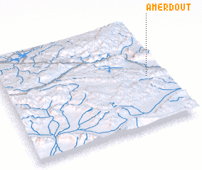 Places with similar names to Amerdout, Morocco ::
// Amīrdād (PK)
Disclaimer :: Information on this page comes without warranty of any kind |
||
|
Where is Amerdout? Elevation and coordinates ::
Latitude (lat): 30°30'9"N Longitude (lon): 6°5'55"W
Elevation (approx.): 802m (map arrows pan, magnifying glasses zoom) |
||
|
Visiting Amerdout? Hotel/Accommodation ::
Book a hotel in Amerdout Travel Guide ::
Buy a travel guide for Morocco rental cars ::
car rental offers GPS waypoint ::
download a GPX waypoint (PoI) of Amerdout for your GPS receiver
|
||