|
search place name
|
||
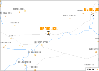
Beni Oukil (Nador, Morocco)Beni Oukil is a town in the Nador region of Morocco. An overview map of the region around Beni Oukil is displayed below.
regional and 3d topo map of Beni Oukil, Morocco ::
Beni Oukil airports ::
The nearest airport is MLN - Melilla, located 48.9 km north west of Beni Oukil.
Other airports nearby include OUD - Oujda Angads (64.4 km east), TLM - Tlemcen Zenata (105.3 km east), AHU - Al Hociema Cherif El Idrissi (115.8 km west), ORN - Oran Es Senia (194.9 km north east), Nearby towns ::
Oulad MʼHalhal (1.9km north) //
Mechra Safsaf (4.3km south west) //
Oulad Bou Abid (8.7km south west) //
Sidi el Makhti (8.9km north east) //
[all distances 'as the bird flies' and approximate] 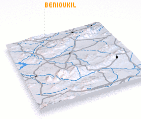 Places with similar names to Beni Oukil, Morocco ::
Disclaimer :: Information on this page comes without warranty of any kind |
||
|
Where is Beni Oukil? Elevation and coordinates ::
Latitude (lat): 34°57'0"N Longitude (lon): 2°36'0"W
Elevation (approx.): 97m (map arrows pan, magnifying glasses zoom) |
||
|
Visiting Beni Oukil? Hotel/Accommodation ::
Book a hotel in Beni Oukil Travel Guide ::
Buy a travel guide for Morocco rental cars ::
car rental offers GPS waypoint ::
download a GPX waypoint (PoI) of Beni Oukil for your GPS receiver
|
||