|
search place name
|
||
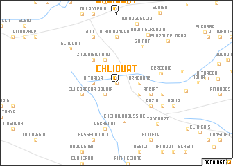
Chliouat (Taroudannt, Morocco)Chliouat is a town in the Taroudannt region of Morocco. An overview map of the region around Chliouat is displayed below.
regional and 3d topo map of Chliouat, Morocco ::
Chliouat airports ::
The nearest airport is AGA - Agadir Inezgane, located 36.0 km west of Chliouat.
Other airports nearby include RAK - Marrakech Menara (181.7 km north east), TTA - Tan Tan Plage Blanche (281.1 km south west), Nearby towns ::
Dchira (0.0km north) //
Aït Bihi (2.4km north east) //
Naajat (2.4km south west) //
Bou Mia (2.4km south west) //
Arhchiine (3.2km east) //
Aït Haïda (3.2km west) //
El Aïda (4.0km north west) //
Ksiba (3.7km south east) //
Zaouia Sidi Aïad (4.9km north west) //
Afriat (5.1km east) //
El Kebabcha (5.1km west) //
Cheïkh Lahoussine (6.3km south) //
Laazib (6.1km south east) //
Zbirat (6.9km north east) //
Er Regaïg (6.4km east) //
Bou Hamara (7.4km north) //
Aït Mzal (6.7km east) //
Lekherbt (7.6km south) //
El Kebir (7.4km south east) //
Goulita (8.1km north west) //
Glalcha (8.5km north west) //
Douar el Koudia (9.0km north east) //
Tadouart (8.7km south east) //
El Groun el Graa (9.9km north east) //
[all distances 'as the bird flies' and approximate] 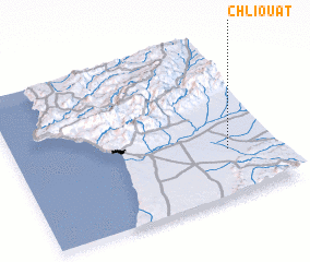 Places with similar names to Chliouat, Morocco ::
Disclaimer :: Information on this page comes without warranty of any kind |
||
|
Where is Chliouat? Elevation and coordinates ::
Latitude (lat): 30°18'0"N Longitude (lon): 9°11'0"W
Elevation (approx.): 173m (map arrows pan, magnifying glasses zoom) |
||
|
Visiting Chliouat? Hotel/Accommodation ::
Book a hotel in Chliouat Travel Guide ::
Buy a travel guide for Morocco rental cars ::
car rental offers GPS waypoint ::
download a GPX waypoint (PoI) of Chliouat for your GPS receiver
|
||