|
search place name
|
||
Douar el Amaïr (El Jadida, Morocco)Douar el Amaïr is a town in the El Jadida region of Morocco. An overview map of the region around Douar el Amaïr is displayed below.
regional and 3d topo map of Douar el Amaïr, Morocco ::

Douar el Amaïr airports ::
The nearest airport is CMN - Casablanca Mohammed V Intl, located 114.2 km north east of Douar el Amaïr.
Other airports nearby include RAK - Marrakech Menara (138.6 km south), RBA - Rabat Sale (222.1 km north east), NNA - Kentira Kenitra (250.9 km north east), OZZ - Ouarzazate (257.2 km south east), Nearby towns ::
Douar Oulad bou Hamid (1.9km south) //
Douar Oulad Sidi Abdallah ben Messaoud (4.0km north east) //
Sidi Habib el Khalfi (3.6km south west) //
Douar el Harakta (5.8km north) //
Sebt es Saïss (5.0km west) //
Zaouiet Ben Ajem (6.4km north east) //
Douar Keradla (6.0km south east) //
Douar el Hadida (7.4km north) //
Zaouiet Saïs (7.3km north west) //
Douar el Absailat (8.8km north west) //
Sidi Smaïl (9.7km north east) //
[all distances 'as the bird flies' and approximate] 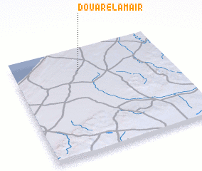 Places with similar names to Douar el Amaïr, Morocco ::
// Douar el Amira (MA)
// Douar Louamra (MA)
// Dahr el Ahmar (LB)
// Dār al ‘Āmirah (YE)
// Dār al ‘Umayrah (YE)
// Dayr al Aḩmar (LB)
// Dār al Amīr (YE)
// Douar el Aouameur (DZ)
// Douar Laâouamria (DZ)
// Draa el Ahmar (DZ)
Disclaimer :: Information on this page comes without warranty of any kind |
||
|
Where is Douar el Amaïr? Elevation and coordinates ::
Latitude (lat): 32°46'0"N Longitude (lon): 8°35'0"W
Elevation (approx.): 154m (map arrows pan, magnifying glasses zoom) |
||
|
Visiting Douar el Amaïr? Hotel/Accommodation ::
Book a hotel in Douar el Amaïr Travel Guide ::
Buy a travel guide for Morocco rental cars ::
car rental offers GPS waypoint ::
download a GPX waypoint (PoI) of Douar el Amaïr for your GPS receiver
|
||