|
search place name
|
||
Drahigat (El Kelaa des Sraghna, Morocco)Drahigat is a town in the El Kelaa des Sraghna region of Morocco. An overview map of the region around Drahigat is displayed below.
regional and 3d topo map of Drahigat, Morocco ::

Drahigat airports ::
The nearest airport is RAK - Marrakech Menara, located 35.6 km west of Drahigat.
Other airports nearby include OZZ - Ouarzazate (113.4 km south east), CMN - Casablanca Mohammed V Intl (183.3 km north), AGA - Agadir Inezgane (231.4 km south west), Nearby towns ::
Moulay Bouih (1.9km south) //
El Betma (2.3km south east) //
Beni Hassene (2.4km north east) //
Oulad Dim (3.2km west) //
El Goura (4.0km north east) //
Oulad Ouggad (3.8km north east) //
Ben Zadi (4.9km north west) //
Chorfa Jaïdat (4.7km east) //
Sidi Azzouz (5.8km north) //
Sidi Brahim (5.8km north) //
Jaafra (5.8km north) //
El Had de Ras el Aïn (5.4km north east) //
Oulad Abbou (6.0km south west) //
Oulad Mansour (6.3km west) //
Sidi Ali Bou Hammou (7.0km south east) //
El Arhaoulam (7.3km north west) //
Drioukat (8.2km north) //
Moulay Abd el Krim (8.1km south west) //
Aït Nasser (8.4km south west) //
Azib el Ayadi (8.8km south east) //
Mellah Bakka (9.7km south west) //
[all distances 'as the bird flies' and approximate] 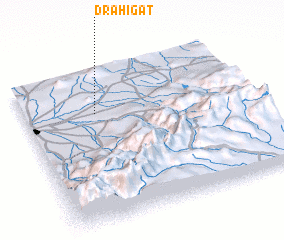 Places with similar names to Drahigat, Morocco :: Disclaimer :: Information on this page comes without warranty of any kind |
||
|
Where is Drahigat? Elevation and coordinates ::
Latitude (lat): 31°43'0"N Longitude (lon): 7°41'0"W
Elevation (approx.): 512m (map arrows pan, magnifying glasses zoom) |
||
|
Visiting Drahigat? Hotel/Accommodation ::
Book a hotel in Drahigat Travel Guide ::
Buy a travel guide for Morocco rental cars ::
car rental offers GPS waypoint ::
download a GPX waypoint (PoI) of Drahigat for your GPS receiver
|
||